Catalog Archive
Auction 162, Lot 672

"Carte de l'Empire Chinois et du Japon", Andriveau-Goujon, J.

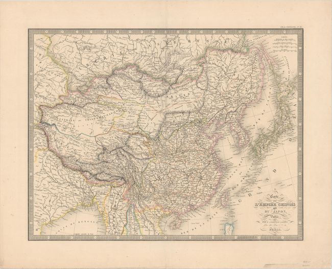
Subject: China, Korea & Japan

Period: 1850 (dated)

Publication: Atlas Universel

Color: Hand Color

Size:
19.6 x 15.3 inches
49.8 x 38.9 cm
Download High Resolution Image
(or just click on image to launch the Zoom viewer)

This finely engraved and intricately detailed map shows the size and breadth of China and includes Tibet, Mongolia, Taiwan (Formose), Korea, part of Siberia, and all of Japan. Filled with watershed and topographical detail, the map also locates the Great Wall, the Gobi Desert, and scores of towns. A decorative keyboard-style border surrounds the map.

References:

Condition: A

Original outline color with very minor toning, a centerfold separation at top that has been repaired with old paper on verso, and a few tiny spots of foxing, primarily confined to the blank margins.

Estimate: $120 - $150

Sold for: $90

Closed on 4/26/2017

Archived