Catalog Archive
Auction 162, Lot 446

NO RESERVE

"Carte Particuliere de l'Angleterre et de la Principaute de Galles...", Andriveau-Goujon, E.

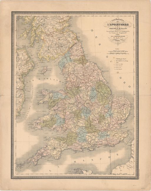
Subject: England & Wales

Period: 1851 (dated)

Publication: Atlas Universel

Color: Hand Color

Size:
17.3 x 22.6 inches
43.9 x 57.4 cm
Download High Resolution Image
(or just click on image to launch the Zoom viewer)

This intricately engraved map of England and Wales extends to show southern Scotland and the eastern edge of Ireland. The map divides the area into counties and locates several towns and cities, roads, canals, and railroads. Printed by Lemercier in Paris.

References:

Condition: B+

Original color on a lightly toned sheet with a few minor spots. An edge tear and centerfold separations in the blank margins have been repaired with old paper on verso.

Estimate: $70 - $90

Sold for: $17

Closed on 4/26/2017

Archived