Catalog Archive
Auction 162, Lot 131

"A Map of the Five Great Lakes with Part of Pensilvania, New York, Canada and Hudsons Bay Territories &c.",

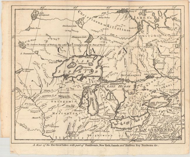
Subject: Colonial Great Lakes

Period: 1755 (published)

Publication: London Magazine

Color: Black & White

Size:
10.4 x 8.3 inches
26.4 x 21.1 cm
Download High Resolution Image
(or just click on image to launch the Zoom viewer)

This small map covers the Great Lakes region prior to the French and Indian War. A dotted line beginning at Lake of the Woods depicts The Southern Boundary of Hudson's Bay Settled by Commisaries After the Peace of Utrecht. A spurious mountain range is shown down the length of Michigan, as well as the fictitious islands of Philippeux, Pontchartrain, Maurepas, and St. Anne in Lake Superior. Published in the September 1755 issue of the London Magazine.

References: Jolly #LOND-97.

Condition: A

A crisp impression, issued folding.

Estimate: $275 - $350

Sold for: $240

Closed on 4/26/2017

Archived