Catalog Archive
Auction 162, Lot 129

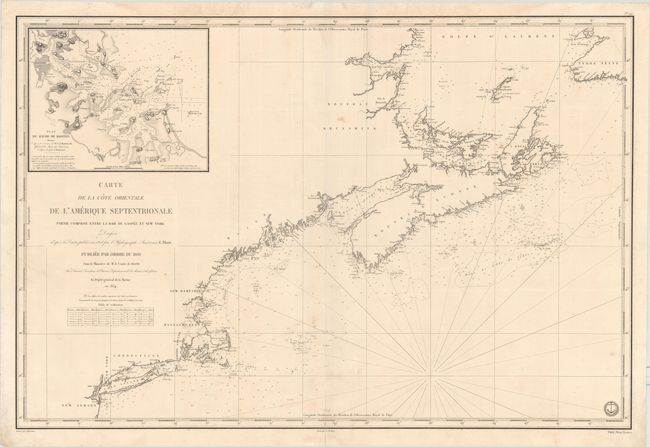
"Carte de la Cote Orientale de l'Amerique Septentrionale Partie Comprise Entre la Baie de Gaspee et New York...", Depot de la Marine

Subject: Northeastern United States & Canada

Period: 1834 (dated)

Publication:

Color: Black & White

Size:
34.3 x 23 inches
87.1 x 58.4 cm
Download High Resolution Image
(or just click on image to launch the Zoom viewer)

This striking chart stretches from New York Bay to St. George's Bay in Newfoundland and Labrador. It is based on the work of Edmund Blunt. Other than place names along the coast, there is no inland detail. Soundings, banks, lighthouses, and other navigational information are shown. An inset at top left zooms in on Boston Harbor and its surroundings with plenty of nautical information as well as nice topographical detail. The engraved seal of the Depot de la Marine is at bottom right, with the price Prix. Deux Francs appearing below the neatline. Drawn by J.M. Hacq and engraved by Chassant.

References:

Condition: B+

A fine impression with light soiling, a centerfold separation that enters 2" at bottom, and an archivally repaired edge tear that enters 3" into map at left.

Estimate: $475 - $600

Unsold

Closed on 4/26/2017

Archived