Subject: Atlases, Wisconsin
Period: 1905 (published)
Publication:
Color: Printed Color
Size:
12 x 14.9 inches
30.5 x 37.8 cm
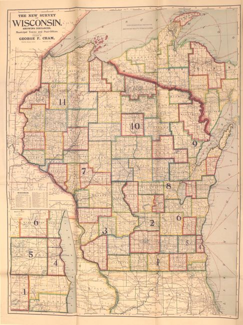
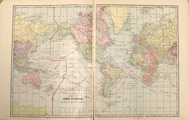
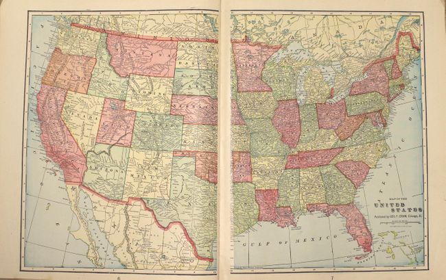
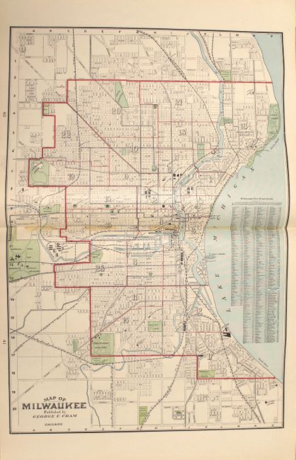
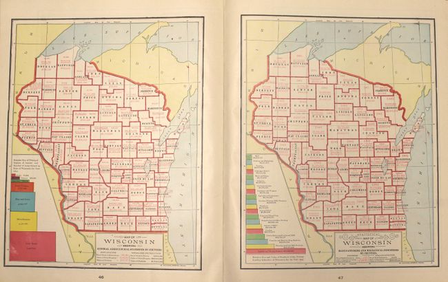
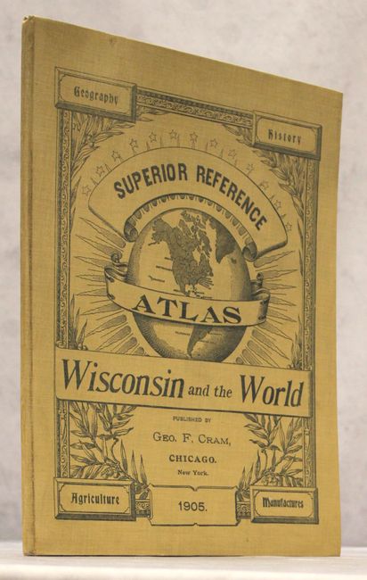
This is the original version of Cram's Superior Reference Atlas of Wisconsin which was greatly expanded and improved in 1908. It is one of a series of atlases published early in the 20th century by the Cram company that highlights an individual state, and contains 19 double-page and 7 single-page maps of U.S. states, territories and the rest of the world. At the back of the volume are 4 maps and 10 pages of text directly related to Wisconsin. Of particular interest is the huge (32 x 42") boldly colored folding map of the state that is attached to the rear of the volume, showing county boundaries, railroads, cities and towns, post offices, and more. Includes a double-page city of Milwaukee. 64 pages, hardbound in original cream cloth boards with black pictorial front cover title and illustration.
References:
Condition: A
Overall excellent condition. Maps and text are clean and bright. The large folding map at the back has one edge tear at right that just touches the border. The front hinge is a little loose, and the extremities show only light wear. Private bookplate on both pastedowns.