Subject: Atlases, Civil War
Period: 1893 (published)
Publication:
Color: Printed Color
Size:
15.9 x 18.6 inches
40.4 x 47.2 cm
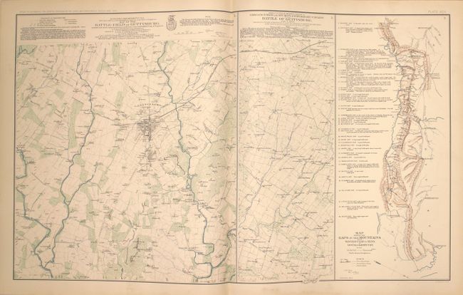
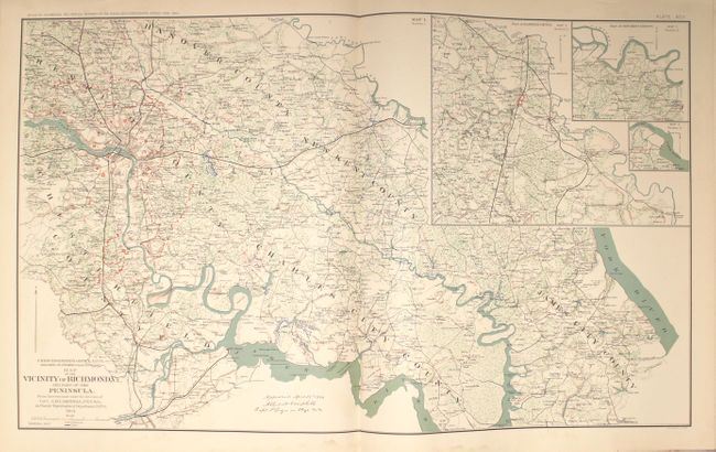
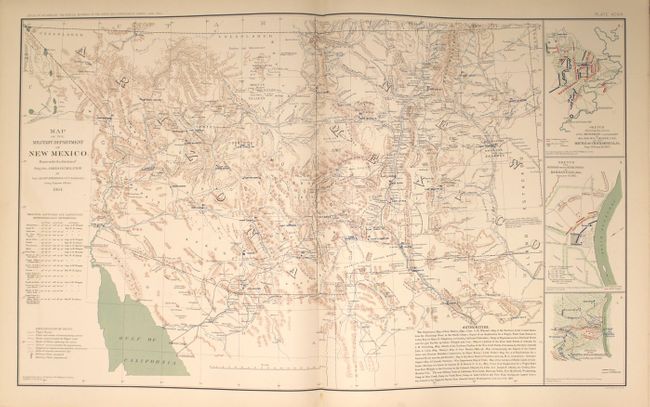
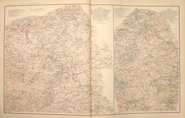
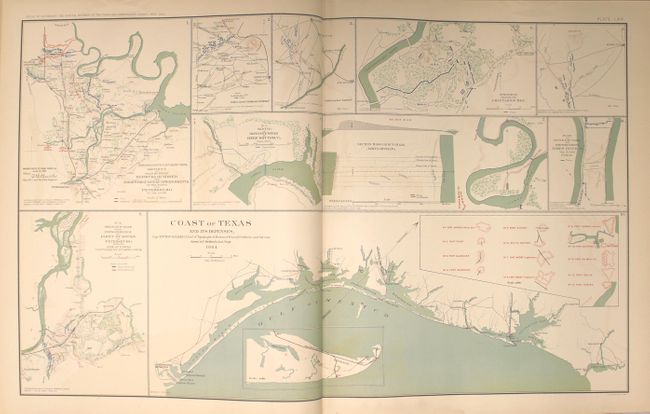
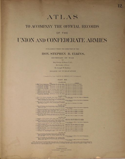
This atlas was published to accompany the War of the Rebellion, A Compilation of the Official Records of the Union & Confederate Armies, which is the official government publication documenting the Civil War. Nearly 30 years passed before the record could be published. This bound volume contains plates 56 through 115, or 60 plates from the full atlas set of 175. The vast majority of the plates show various regions of the U.S. where battles occurred including Virginia, Georgia, Texas and New Mexico, and also includes a double-page map of Gettysburg. A handful of black & white plates show various batteries, forts, and other defenses.
These plates were issued by subscription in addition to being published in complete atlas form. This compilation was assembled from these separate subscription mailings including #12-23 and each has their own title page. Hardbound in brown quarter calf with tips over cloth boards with gilt title and original owner's name below in gilt.
References:
Condition: A
The condition code is for the maps which are near fine with pleasant light toning and occasional faint color offsetting. A handful of maps have a faint damp stain confined to the bottom blank margin. The end papers are wormed and tattered, and there are heavy manuscript notations on the pastedown of the back cover which is separated from the text block. The spine has nearly perished and the covers are heavily worn.