Subject: Atlases
Period: 1850 (circa)
Publication:
Color: Hand Color
Size:
7.3 x 11 inches
18.5 x 27.9 cm
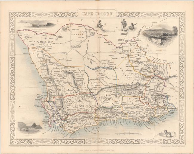
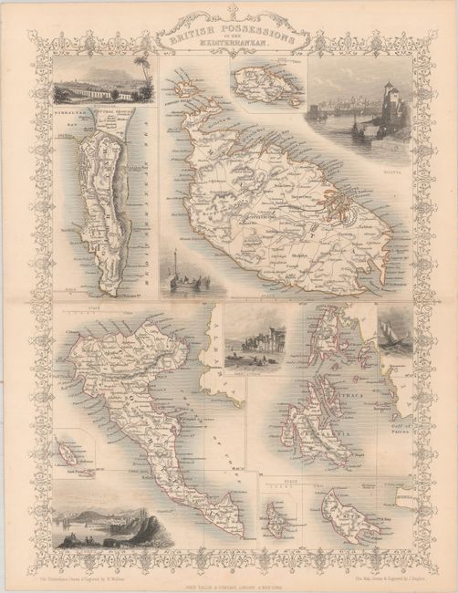
The maps from The Illustrated Atlas were first published in serial form to a target audience that led insular lives due to the expense and hardship of travel. All that changed as the progress of the nineteenth century brought swift and dramatic changes in public awareness of far away places. Tallis' maps no doubt played an important role in this dramatic awakening. These maps not only provided up-to-date geographical knowledge, but also used vignette views within the map's design to show the native people and their occupations, cities and points of interest. The maps hark back to a cartographic tradition from the Dutch mapmakers of the seventeenth century with finely engraved decorative borders. The maps were drawn and engraved by John Rapkin with views drawn and engraved by a number of prominent artists. The maps were issued as a complete volume from 1851 until about 1865. Some of the maps were also published in other history books published by Tallis including British Colonies and, without the vignettes, in geographical dictionaries and encyclopedias until about 1880.
This lot of 39 steel engraved maps represents nearly all geographies of the world including Asia (16), Africa (4), Latin America (9), Europe (7), and the Caribbean (3). Each of the maps is surrounded by a decorative border and embellished by a series of vignettes depicting both people and places. The decorative borders and vignettes are uncolored, as issued. Size varies slightly.
Asia: 16 maps
Eastern Hemisphere
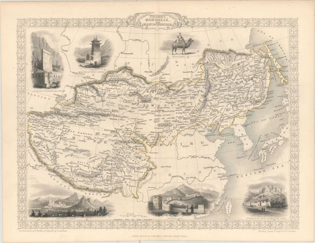
Thibet, Mongolia, and Mandchouria
Northern India
British India
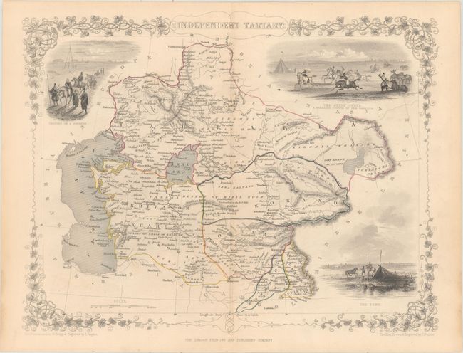
[Lot of 2] Independent Tartary
[Lot of 2] Cabool, The Punjab and Beloochistan
Japan & Corea
Turkey in Asia
Islands in the Indian Ocean
Persia
Russia in Asia
Asia Minor
Ancient Palestine
Modern Palestine
Africa: 4 maps
Northern Africa
Western Africa
Cape Colony
Natal and Kaffraria
Latin America: 9 maps
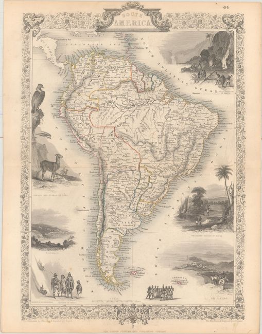
[Lot of 2] South America
Brazil
British Guayana
Chili and La Plata
Venezuela, New Granada, Equador, and the Guayanas
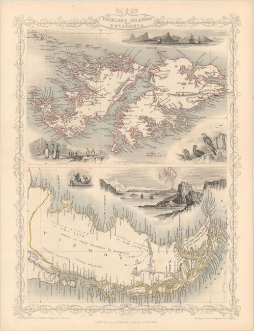
Falkland Islands and Patagonia
Isthmus of Panama
Central America
Europe: 7 maps
Turkey in Europe
British Possessions in the Mediterranean
Holland
Hungary
Germany
Northern Italy
Southern Italy
Caribbean/Other: 3 maps
West India Islands
Jamaica
Islands in the Atlantic
References:
Condition: B+
The maps are almost all very good to near fine with original outline color. About half of the maps have light scattered foxing, the map of Persia also has light offsetting, and one of the maps of the continent of South America has moderate foxing (B).