Subject: Atlases
Period: 1848 (circa)
Publication:
Color: Hand Color
Size:
10.9 x 13.4 inches
27.7 x 34 cm
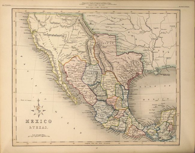
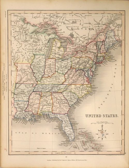
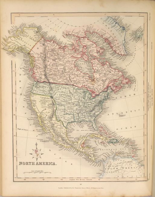
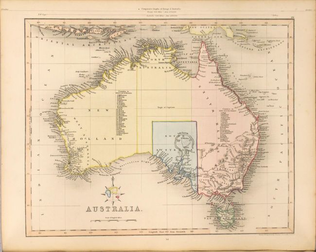
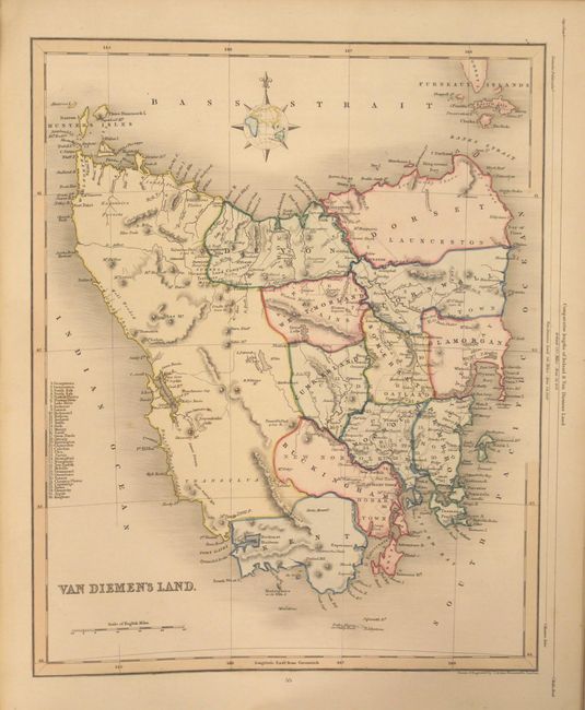
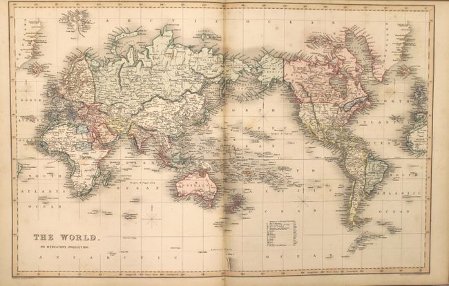
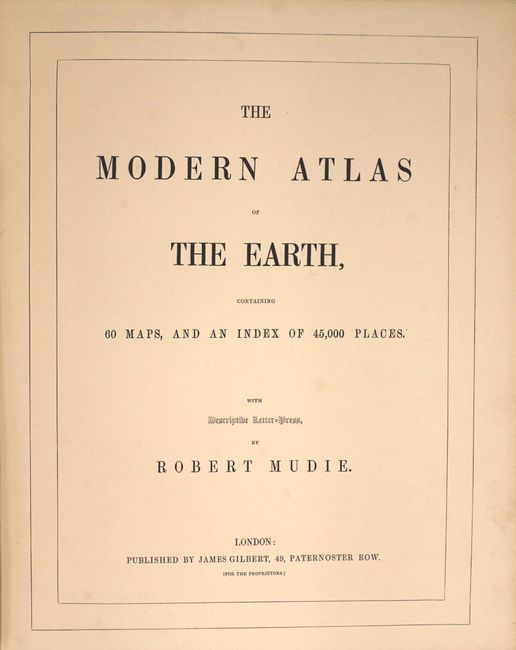
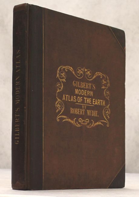
Despite the title advertising 60 maps, this complete atlas contains a total of only 56 maps. The maps consist of world (2 double-page), Europe (20), Asia (15), Africa (6), Americas (11), Australia (2), as well as comparative charts of rivers and mountains. The map of North America and Mexico & Texas prominently feature the Independent Republic of Texas. The world maps show the United States boundary extending to the Pacific Ocean, meaning the atlas was likely published shortly after the conclusion of the Mexican-American War. The map of the United States is confined to east of the Mississippi River and shows both the state of Missouri and a large Missouri Territory above it. To its east is a large Wisconsin Territory also labeled "Huron or North West Territory." The atlas also features full page maps of Madagascar and Tasmania, which is unusual. Related text is interspersed throughout. Published in London. Rebound in quarter faux leather with original spine label, tips, and brown cloth boards.
References:
Condition: B+
The maps are in original color with occasional scattered foxing. The first title page is partially separated from the binding. Rebound with original boards, which have light wear.