Subject: East Indies - Indonesia
Period: 1659 (circa)
Publication:
Color: Hand Color
Size:
20.5 x 16.6 inches
52.1 x 42.2 cm
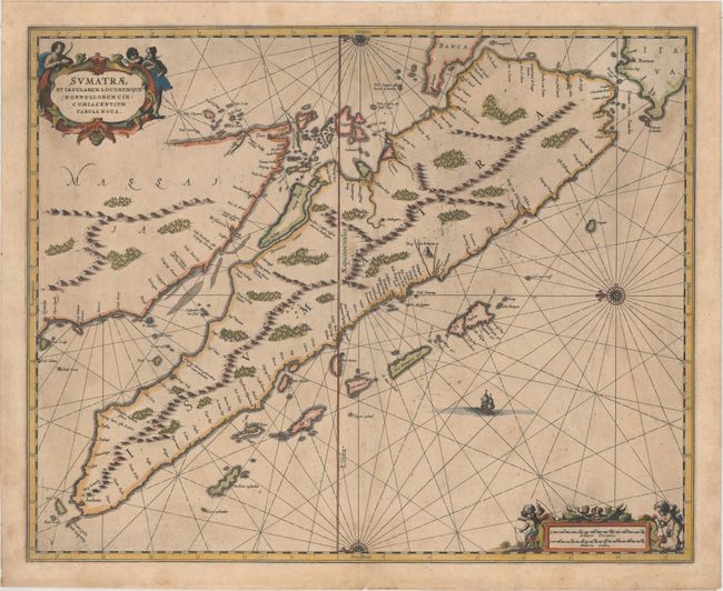
This beautiful map of Sumatra was one of the earliest detailed depictions of Sumatra and remained the most important map of the region until well into the eighteenth century. The place name Senafur labels a promontory south of Ihor (Johor Baharu) in the vicinity of Singapore. Lovely compass roses, with radiating rhumb lines, orient the chart with north to the left. The map is further ornamented with two fine cartouches and a sailing ship. Blank verso. This map is quite uncommon as it was only published in a few editions of Jansson's atlases.
References: Van der Krogt (Vol. I) #8530:1.
Condition: B+
A nice impression with light toning, some printer's ink residue, and a few spots of foxing.