Catalog Archive
Auction 161, Lot 568

"[On 4 Sheets] Ein Theil des Hundsrucks mit den Angraenzenden Maynz-u. Trierischen Laendern in IV Sectionen...", Homann Heirs

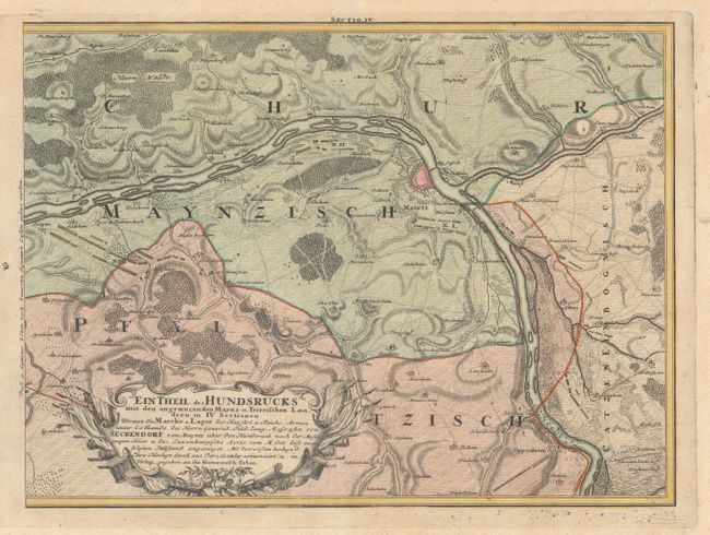
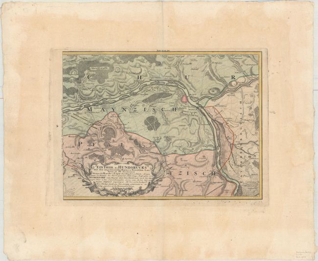
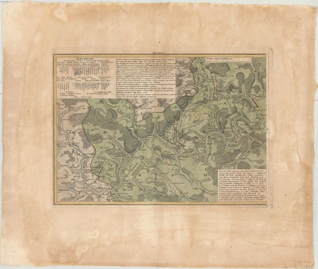
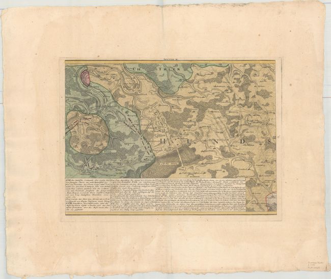
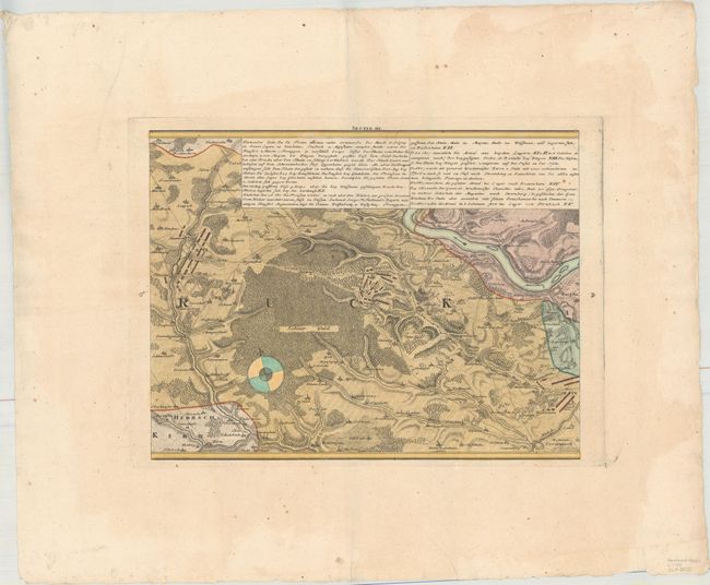
Subject: Western Germany

Period: 1740 (circa)

Publication:

Color: Hand Color

Size:
17.1 x 12.7 inches
43.4 x 32.3 cm
Download High Resolution Image
(or just click on image to launch the Zoom viewer)

This four-sheet map depicts the Hunsrueck region between Trier on the Moselle River and Mainz on the Rhine River. The map was created to illustrate the Battle of Clausen on October 20, 1735, part of the War of the Polish Succession. The map depicts the troop movements of General Seckendorf, commander of the imperial army, with numerous notes describing the battle. Size of sheets varies, and the map would measure 69 x 12.7" if joined.

References:

Condition: B+

The sheets are generally very good with full original color, very wide margins, minor toning, and a few small spots. Sheet I has moderate toning and damp stains, primarily confined to the blank margins.

Estimate: $475 - $600

Unsold

Closed on 2/8/2017

Archived