Catalog Archive
Auction 161, Lot 522
"A Correct Chart of the Baltick or East Sea from ye Sound to Petersburg from the Latest and Best Observations for Mr. Tindal's Continuation of Mr. Rapin's History", Seale, Richard William
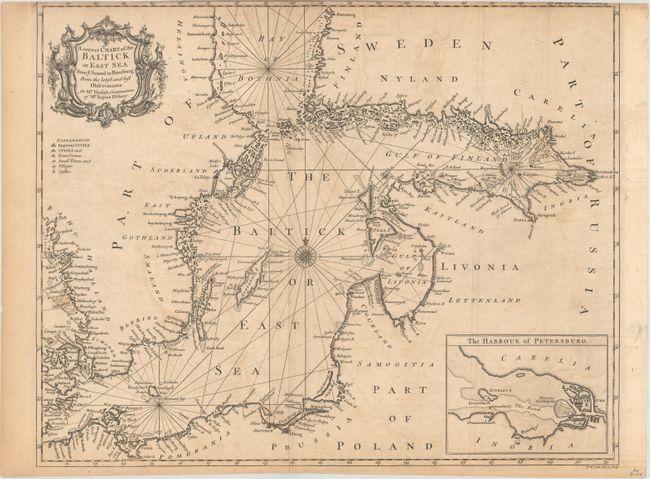
Subject: Baltic
Period: 1750 (circa)
Publication: Mr. Tindal's Continuation of Mr. Rapin's History
Color: Black & White
Size:
18.8 x 15 inches
47.8 x 38.1 cm
Download High Resolution Image
(or just click on image to launch the Zoom viewer)
(or just click on image to launch the Zoom viewer)