Catalog Archive
Auction 161, Lot 504

"Comitatus Bercheriae Vulgo Barkshyre qui olim Sedes Atrebatum", Saxton/Hole

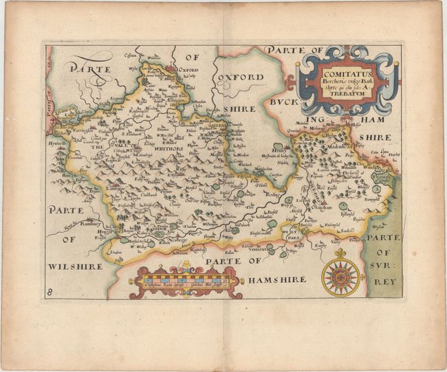
Subject: Southern England

Period: 1637 (published)

Publication: Camden's Britannia

Color: Hand Color

Size:
12.6 x 9 inches
32 x 22.9 cm
Download High Resolution Image
(or just click on image to launch the Zoom viewer)

An early map of the county of Berkshire engraved by William Hole and based upon the famous survey by Christopher Saxton. It is fully engraved to illustrate all the salient features of the county including market towns, forests, parks, hills and bridges. Decorated with large strapwork title and scale cartouches and a fine compass rose. Published in the 1637 edition of Camden's Britannia, with the addition of a plate number on the map.

References: Shirley (BL Atlases) T.CAMD-1e.

Condition: A

A crisp impression on paper with a large coat of arms watermark. There is light toning along the edges of the sheet and several worm holes confined to the blank margins.

Estimate: $110 - $140

Sold for: $90

Closed on 2/8/2017

Archived