Catalog Archive
Auction 161, Lot 453

"Novae Hispaniae, Chili, Peruviae, et Guatimalae Littorae", Renard/De Wit

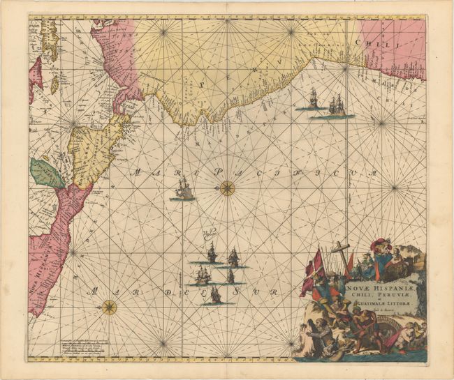
Subject: Northwestern South America & Central America

Period: 1715 (circa)

Publication: Atlas de la Navigation et du Commerce…

Color: Hand Color

Size:
22.2 x 19.3 inches
56.4 x 49 cm
Download High Resolution Image
(or just click on image to launch the Zoom viewer)

This handsome sea chart focuses on Central America and the Pacific coast of South America extending to include northern Chili. It also includes part of the Caribbean with the Yucatan, Jamaica, the Caymans and parts of Cuba and Hispaniola. The magnificent title cartouche is filled with allegorical figures and the chart is embellished with rhumb lines, a fleet of galleons and two compass roses. This is the Renard edition of the map that was first published by Frederick de Wit, circa 1675.

References: Shirley (BL Atlases) M.REN-1a.

Condition: A

A nice impression with a repaired short centerfold separation confined to the bottom blank margin and some light printer's ink residue.

Estimate: $700 - $850

Sold for: $350

Closed on 2/8/2017

Archived