Catalog Archive
Auction 161, Lot 430

"Carte des Antilles", Tardieu, Ambroise
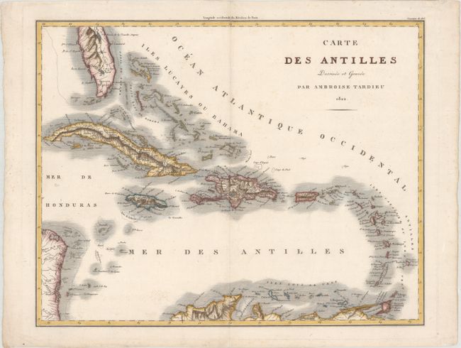
Subject: Caribbean

Period: 1822 (dated)

Publication: Abrege de l'Histoire Generale des Voyages…

Color: Hand Color

Size:
18.3 x 14.4 inches
46.5 x 36.6 cm
Download High Resolution Image
(or just click on image to launch the Zoom viewer)

This map of the Caribbean includes the southern tip of Florida and the coastlines of Honduras, Nicaragua, and northern South America. It contains a dense listing of place names, mountain ranges, rivers, and navigational hazards, more than most charts from this period. There is particularly good detail of Cuba, Jamaica and Hispaniola.

References:

Condition: A

A crisp impression on watermarked paper with very minor soiling and some extraneous creases in the top blank margin.

Estimate: $275 - $350

Unsold

Closed on 2/8/2017

Archived