Subject: New York
Period: 1923 (dated)
Publication:
Color: Printed Color
Size:
5.4 x 109.7 inches
13.7 x 278.6 cm
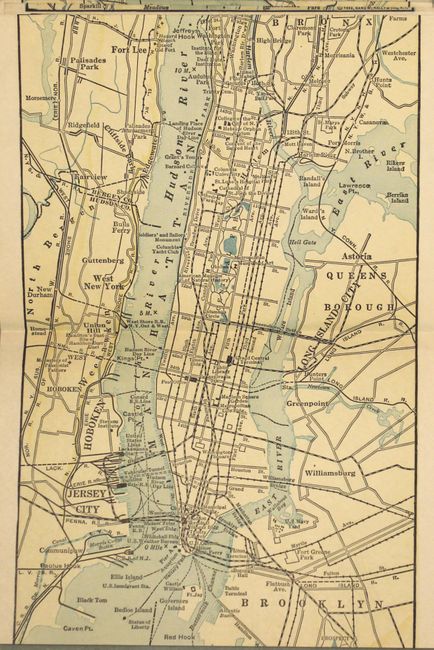
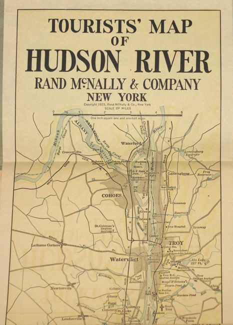
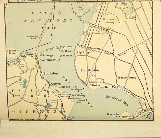
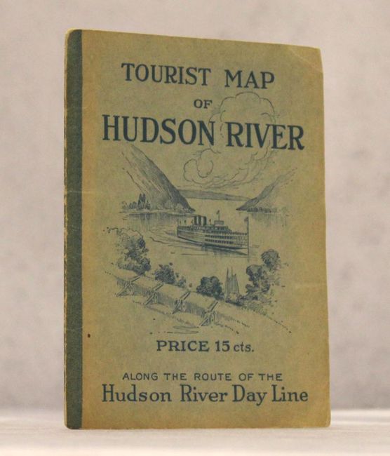
This unique strip map of the greater New York City area measures over 9 feet long, but is conveniently folded into 4.5" sections and attached at both ends to paper wrappers for easy reference. It follows the Hudson River from Troy to its mouth at Staten Island and shows cities and towns, landings, and points of interest along the route of the Hudson River Day Line. Attached to blue pictorial paper wrappers with a steamer illustration on the front cover.
References:
Condition: B+
Overall clean and bright with minor offsetting of the title. Paper wrappers have light wear and minor sunning along the edges.