Catalog Archive
Auction 161, Lot 333

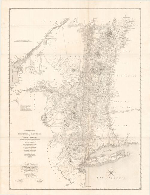
"A Chorographical Map of the Province of New York in North America, Divided into Counties Manors Patents and Townships...", Sauthier/Faden

Subject: New York

Period: 1849 (dated)

Publication:

Color: Black & White

Size:
27.6 x 37.6 inches
70.1 x 95.5 cm
Download High Resolution Image
(or just click on image to launch the Zoom viewer)

This is the reduced version of William Faden's large New York map of 1749, published by David Vaughan one hundred years after the original. The map covers the region bounded by the Delaware and Susquehanna Rivers in the west, the St. Laurence River to Lake Francis and the 45° parallel in the north and Connecticut River in the east. It is an absolutely fascinating map of the region that shows hundreds of land patents with the owner identified. Roads and trails, villages and towns, terrain, watershed, forts, lakes, and more are shown. A beautiful compass rose appears below Long Island. Engraved on stone by R.H. Pease.

References:

Condition: A

Issued folding with faint offsetting and minor toning along a few folds. Overall a very clean and bright example.

Estimate: $160 - $190

Sold for: $120

Closed on 2/8/2017

Archived