Subject: Mid-Atlantic United States
Period: 1828 (published)
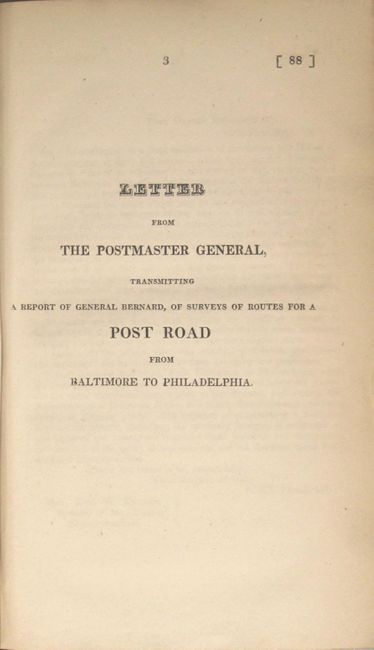
Publication: Sen. Doc. 88, 20th Congress, 1st Session
Color: Black & White
Size:
31.1 x 8.9 inches
79 x 22.6 cm
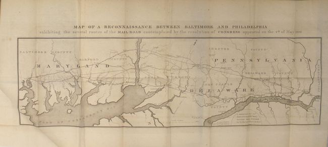
This early map provides a detailed picture of a strip of land 27 miles wide between Baltimore and Philadelphia, on a scale of three miles to the inch. It was issued by S. Bernard, Brigr. Genl. and William Tell Poussin, Capt. Top. Engrs, both on the Board of Internal Improvement. The map was a result of a Maryland petition for improvement of the existing mail road and shows several combinations of alternate post routes from Baltimore to Philadelphia. The map is oriented with north to the top right so that the possible routes could flow from left (Baltimore) to right (Philadelphia). Some roads are named and all are identified as projected, traveled or turnpike. The map is still bound into the original 21 page report and includes 6 large folding tables at the back describing in detail the various routes surveyed. Octavo, hardbound in maroon cloth over marbled boards. Complete and difficult to find with the folding tables.
References: Claussen & Friis #9.
Condition: B+
The large folding map is very good with only faint offsetting, a few spots of foxing, and a short binding tear at left that is confined to the blank margin. The folding tables at the back have light toning and foxing, and the text is lightly toned. Modern covers have light wear and bumped edges.