Catalog Archive
Auction 161, Lot 146

"Canada and Nova Scotia", Thomson, John

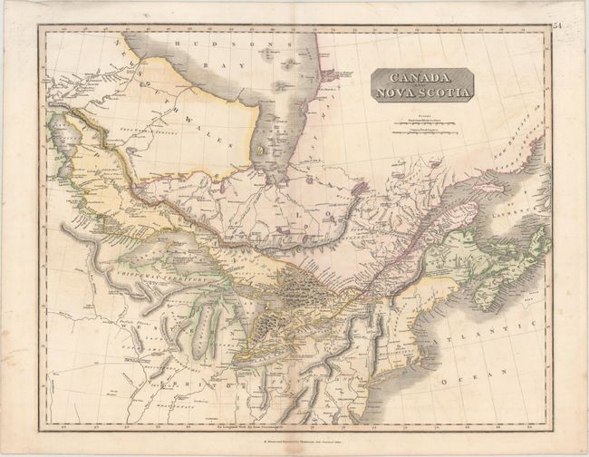
Subject: Northeastern United States & Canada

Period: 1817 (circa)

Publication: New General Atlas

Color: Hand Color

Size:
23.5 x 19.1 inches
59.7 x 48.5 cm
Download High Resolution Image
(or just click on image to launch the Zoom viewer)

This map covers the region from Lake Winnipeg east to the Gulf of St. Laurence and south to Baltimore. It features good detail throughout Upper and Lower Canada, New Brunswick and Nova Scotia with many notations including "immense forests", "swampy ground", and "Here about is a Settlement of the N.W. Company." Identifies forts, numerous Indian tribes, rivers, settlements, and more.

References: Phillips (Atlases) #731-54.

Condition: B+

Light offsetting and light staining along the centerfold at bottom.

Estimate: $140 - $170

Unsold

Closed on 2/8/2017

Archived