Subject: Exploration & Surveys
Period: 1908 (published)
Publication:
Color: Printed Color
Size:
9.3 x 11.9 inches
23.6 x 30.2 cm
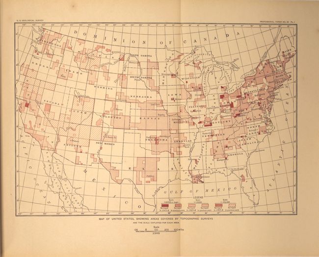
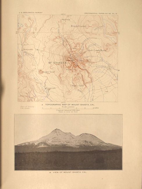
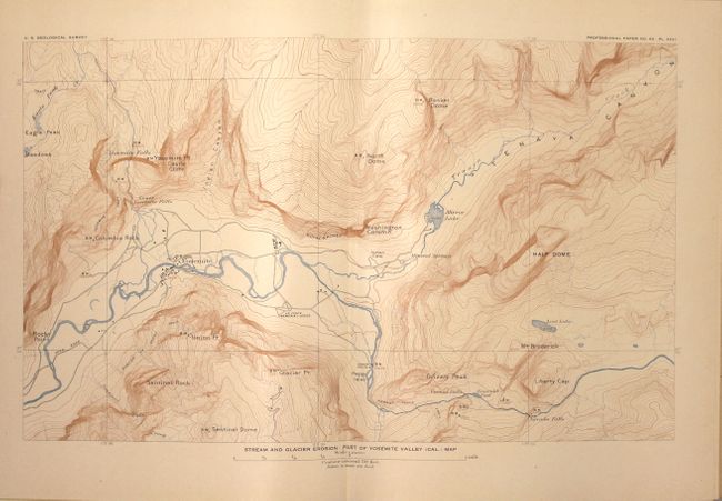
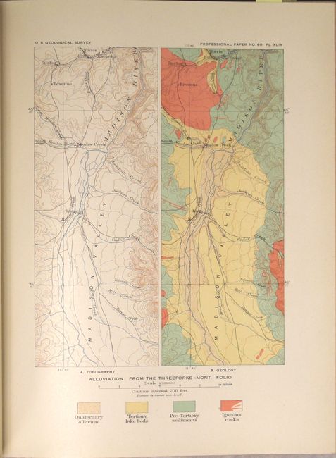
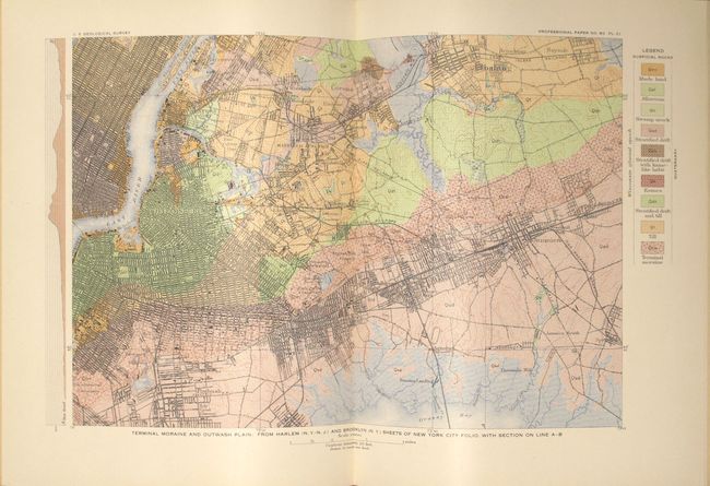
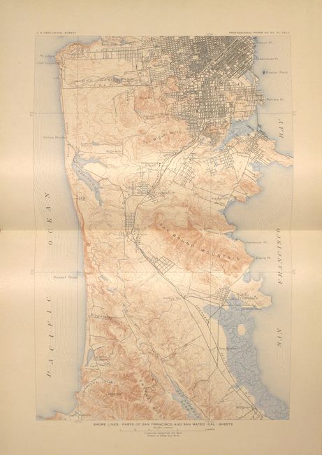
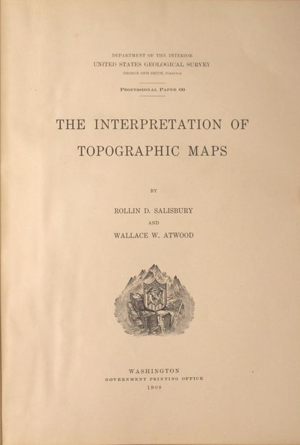
This is Professional Paper 60 presented by Rollin Salisbury and Wallace Atwood under the direction of George Otis Smith. The purpose of the paper was to increase readership of U.S.G.S. material. The preface states that "the value of the maps has become fully appreciated in many quarters, but they are less widely used for educational purposes than they should be. They form the best basis, and for many regions the only basis, for careful geographic and geologic study. It is with the purpose of bringing these maps before teachers of geography and geology, as well as before laymen, that the present paper has been prepared." The report consists of 84 pages of text and an impressive 170 plates representing nearly every state and territory in the country. The maps cover a wide variety of topics including glaciation, volcanism, alluviation, stream erosion, and more. Features many double-page maps and one folding map showing surveying progress in the United States. The front free endpaper contains the stamp of Fred Moffit, U.S. Geological Survey. Hardbound in original blind-stamped maroon cloth with gilt title on spine.
References:
Condition: A
The plates are incredibly clean and bright with pleasant light toning of the text. There is minimal shelf wear and a lightly sunned spine.