Subject: Celestial
Period: 1835 (published)
Publication:
Color: Hand Color
Size:
14.6 x 16.4 inches
37.1 x 41.7 cm
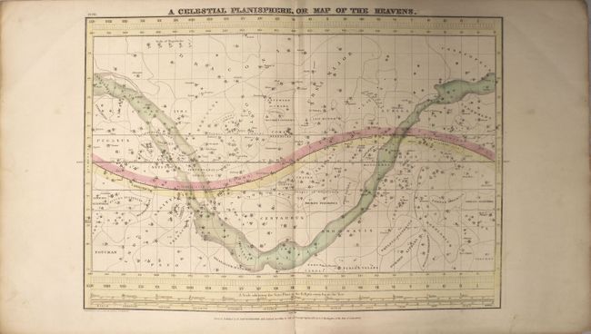
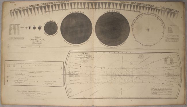
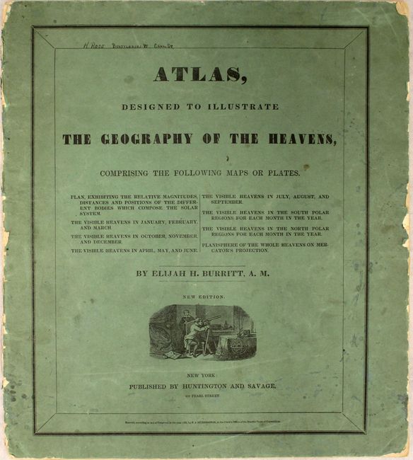
Complete celestial atlas with eight charts of the constellations. This popular star atlas was intended for the general public, rather than for professional astronomers. Only the brighter stars and nebulae, and their allegorical forms, are depicted on the charts. The stiff paper covers include a vignette of astronomers using a telescope. Charts include:
1) A Plan of the Solar System Exhibiting its Relative Magnitudes and Distances...
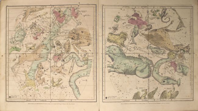
2) The Visible Heavens in January, February, and March.
3) The Visible Heavens in October, November, and December.
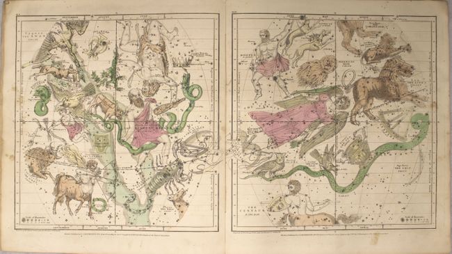
4) The Visible Heavens in April, May, and June.
5) The Visible Heavens in July, August, and September.
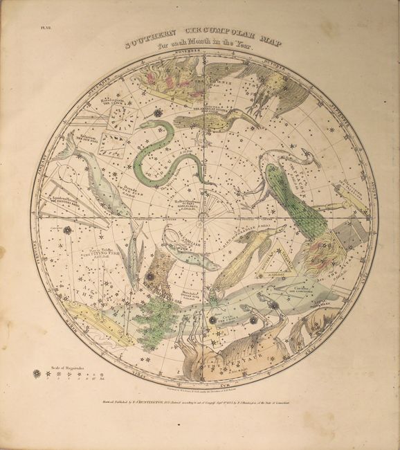
6) Southern Circumpolar Map for each Month in the Year.
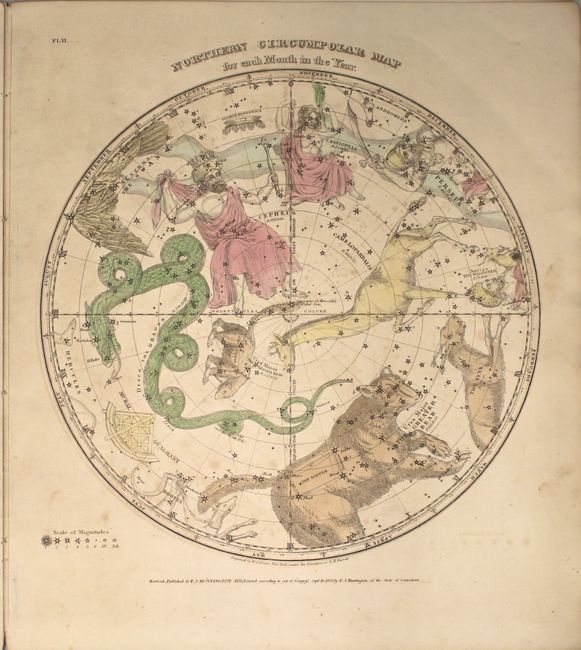
7) Northern Circumpolar Map for each Month in the Year.
8) A Celestial Planisphere, or Map of the Heavens.
References:
Condition: B+
This atlas is nearly always found in poor condition, however in this example all of the charts are in B+ condition. The charts are in original color with light soiling and offsetting, a few spots of foxing, and toning along the edges of the sheet. The covers are moderately soiled and worn with small chips along the edges and spine.