Catalog Archive
Auction 160, Lot 458

NO RESERVE

"Basin of the North Atlantic Ocean", Johnston, W. & A.K.

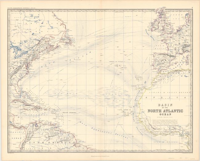
Subject: North Atlantic

Period: 1861 (circa)

Publication: The Royal Atlas of Modern Geography

Color: Printed Color

Size:
22.6 x 17.7 inches
57.4 x 45 cm
Download High Resolution Image
(or just click on image to launch the Zoom viewer)

This detailed chart of the North Atlantic Ocean depicts various sea routes between Europe, Africa and the Americas. The Gulf Stream and other major currents are shown along with directional arrows. Two large areas in the center of the North Atlantic are labeled Sea Weed and Sargrasso Sea. The map was engraved and printed in black and blue ink by W. & A.K. Johnston, and published by William Blackwood & Sons.

References:

Condition: B+

A sturdy sheet with some original hand color and very light toning along the centerfold.

Estimate: $80 - $100

Sold for: $31

Closed on 11/16/2016

Archived