Catalog Archive
Auction 160, Lot 410

"Carte de de l'Isle St. Christophe, pour Servir a l'Histoire Genle. des Voyages", Bellin, Jacques Nicolas
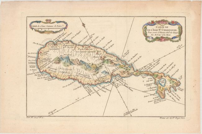
Subject: St. Kitts

Period: 1758 (circa)

Publication: Histoire Generale des Voyages

Color: Hand Color

Size:
12.3 x 7.8 inches
31.2 x 19.8 cm
Download High Resolution Image
(or just click on image to launch the Zoom viewer)

This lovely map of St. Kitts is fully engraved with mountains, rivers, lakes, and towns. The island has twelve quarters and parishes, which are sometimes indicated by hand coloring, but not on this example. In the center of the island a note on the mountain Mont Misery locates Mines de Souffre. Grande Saline, Ville de la Basse Terre, forts, churches and more are identified. Decorated with baroque-style title and scale of miles cartouches and a fleur-de-lys.

References: Tooley (MCC-81) St. Christopher #34.

Condition: A

Issued folding, now flattened, on paper with a bunch of grapes watermark, faint offsetting, and light toning confined to the blank margins.

Estimate: $110 - $140

Unsold

Closed on 11/16/2016

Archived