Subject: Florida
Period: 1893 (circa)
Publication:
Color: Printed Color
Size:
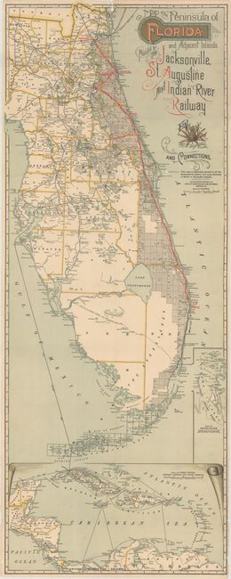
15.6 x 39.8 inches
39.6 x 101.1 cm
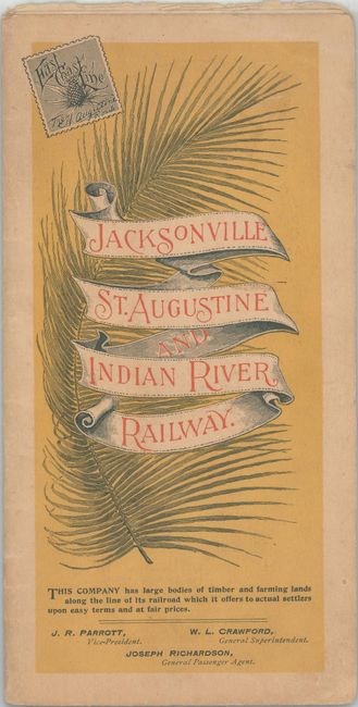
This early edition map shows the Jacksonville, St. Augustine, and Indian River Railway in bright red overprinting from Jacksonville to Lake Worth. This railroad was purchased by Henry Flagler in 1885 and upgraded from a narrow gauge line to the standard 4.5 foot gauge line in 1890 so that it could connect to other railways. The line would later become part of the Florida East Coast Railway, as seen in later editions of the map. In addition to railroads, county boundaries are depicted as well as cities, roads, canals, rivers and lakes. Includes insets of the Bahamas and West Indies at bottom. Folds into tan paper covers.
References:
Condition: B
Issued folding with several short splits at fold intersections. There is minor loss along a horizontal fold near Titusville as well as a small chip near the top border above Jacksonville. Paper wrappers are very good.