Subject: Central California, Sequoia National Park
Period: 1896-1909 (circa)
Publication:
Color:
These six maps show the early development of the nation's second national park (1890) in fine detail, covering a thirteen year span from 1896 - 1909. The maps present a wealth of information concerning the state of surveying, park boundaries, attractions, topography, and more. The list of maps include:
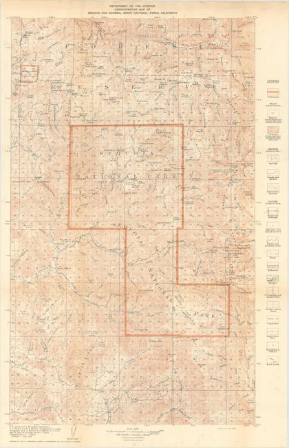
A. Administrative Map of Sequoia and General Grant National Park, California, by the Department of Interior, dated 1909, printed color (14.9 x 23.6").
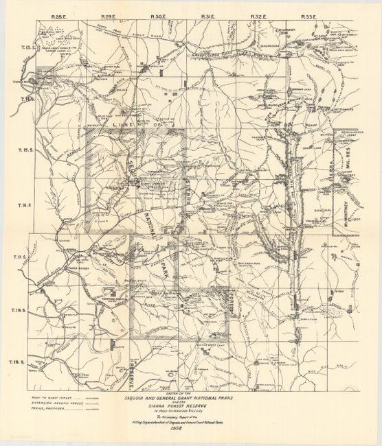
B. Sketch of the Sequoia and General Grant National Parks and the Sierra Forest Reserve in Their Immediate Vicinity..., dated 1908, black & white (14.0 x 14.9").
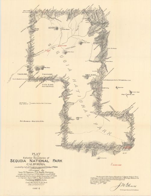
C. Plat of the Exterior Boundaries of Sequoia National Park California..., dated 1904, printed color (16.0 x 22.2").
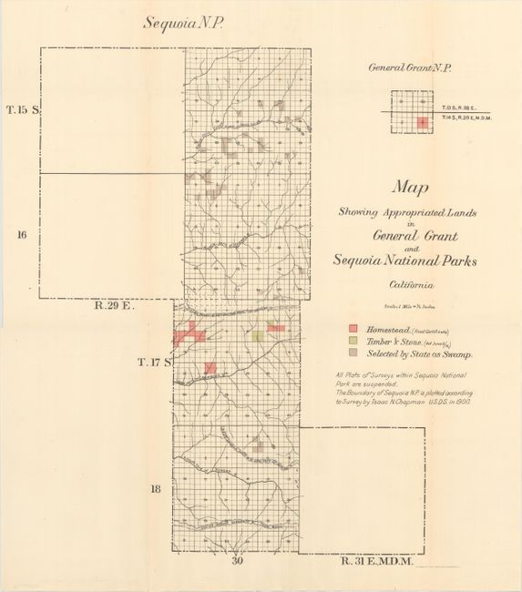
D. Map Showing Appropriated Lands in General Grant and Sequoia National Parks California, dated 1903, printed color (15.5 x 17.5").
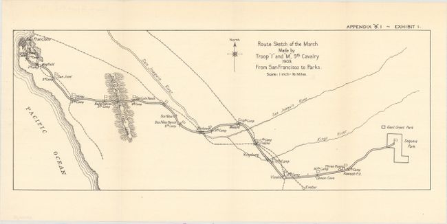
E. Route Sketch of the March Made by Troop "I" and "M," 9th Cavalry 1903 From San Francisco to Parks, dated 1903, black & white (16.8 x 6.5").
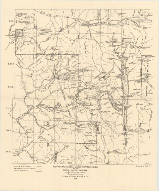
F. Sketch of the Sequoia and General Grant National Parks and the Sierra Forest Reserve in Their Immediate Vicinity..., by Lieutenant M.F. Davis, dated 1896, black & white (13.8 x 14.2").
References:
Condition: A
Clean and bright examples, issued folding.