Subject: Virginia, Atlases
Period: 1885 (published)
Publication:
Color: Hand Color
Size:
15.5 x 17.4 inches
39.4 x 44.2 cm
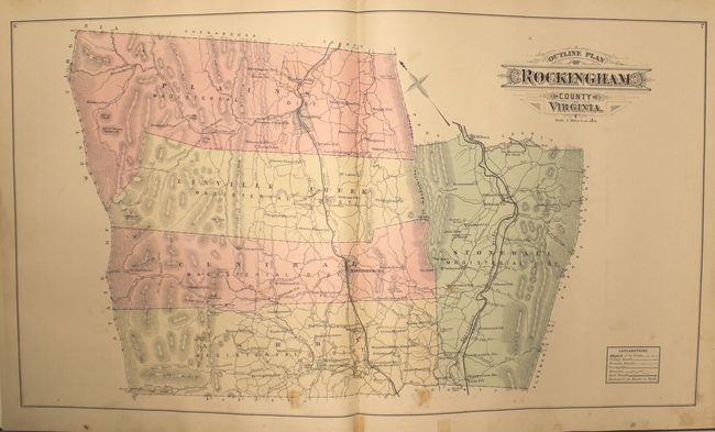
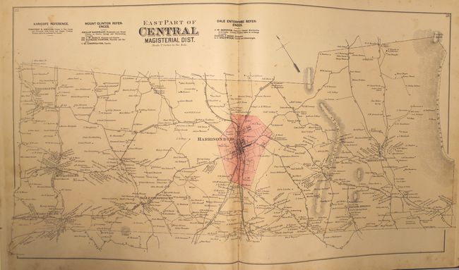
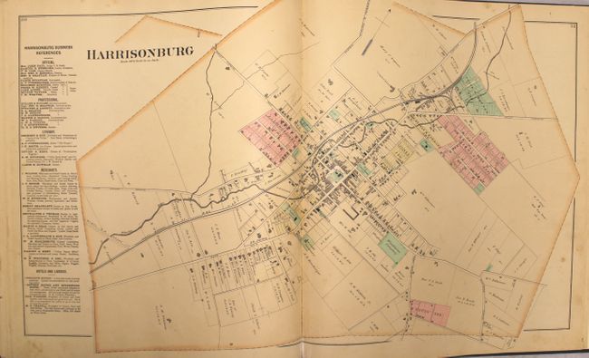
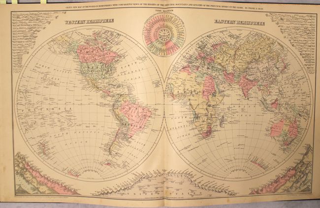
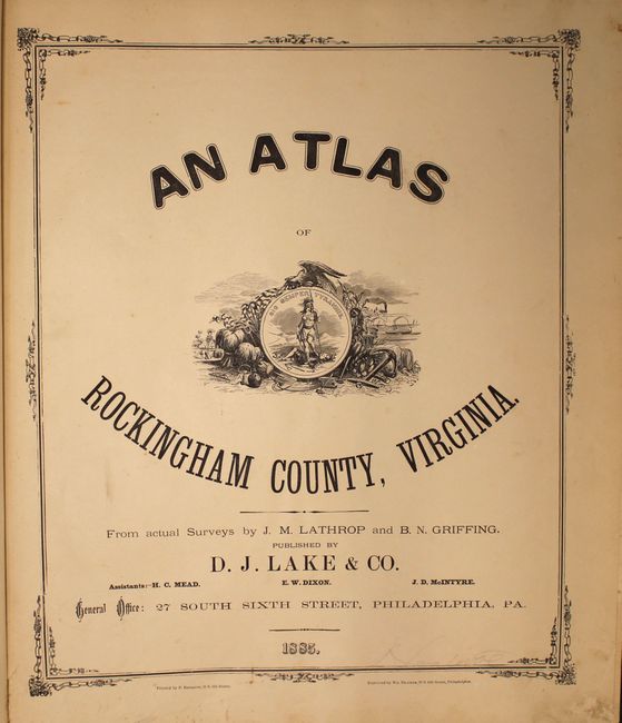
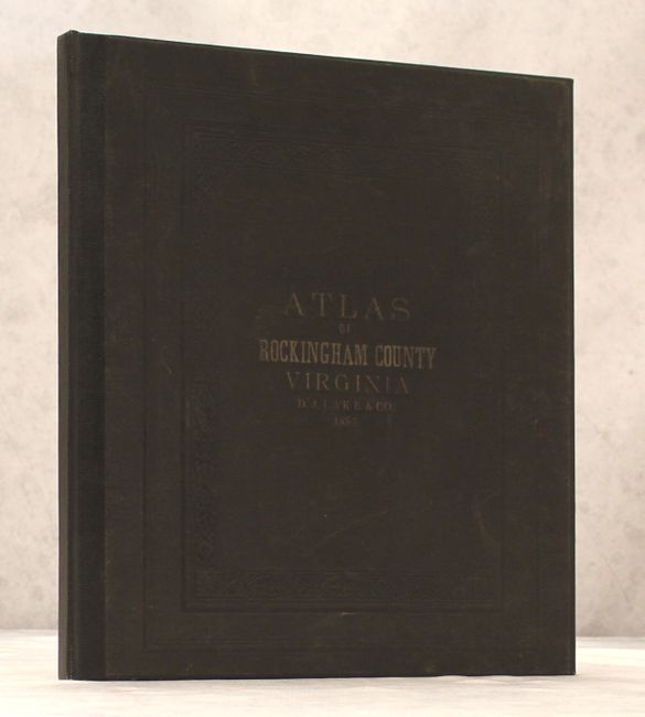
This atlas consists of 15 double-page maps and 3 single page maps depicting Rockingham County, its magisterial districts, and a number of town plans, as well as maps of the world, the United States, and Virginia and West Virginia. The district maps and town plans show individual land owners, and are often accompanied by a business directory for the area. Towards the back of the atlas are two pages listing the patrons of the atlas, including information on the number of acres held by each landowner, their occupation, and the date of their settlement. Population data for each county in each U.S. state are given based on the 1870 and 1880 censuses. The double-hemisphere world map (dated 1879) includes comparative diagrams of the rivers and mountains of the world. Published by D. J. Lake & Co. in Philadelphia. Rebound with original black cloth embossed boards with gilt title on front cover and new endpapers.
References:
Condition: B+
The maps are generally very good to near fine with mild toning, occasional spots of soiling, and a number of short edge tears that have been closed on verso with archival and non-archival tape. The map "East Part of Ashby Magisterial Dist." has several extraneous creases and a 2 x 3" sized chip at bottom left that has been reattached. There are pencil markings on the title page. The covers show very light wear.