Subject: Colorado
Period: 1904 (published)
Publication:
Color: Black & White
Size:
11.1 x 18.4 inches
28.2 x 46.7 cm
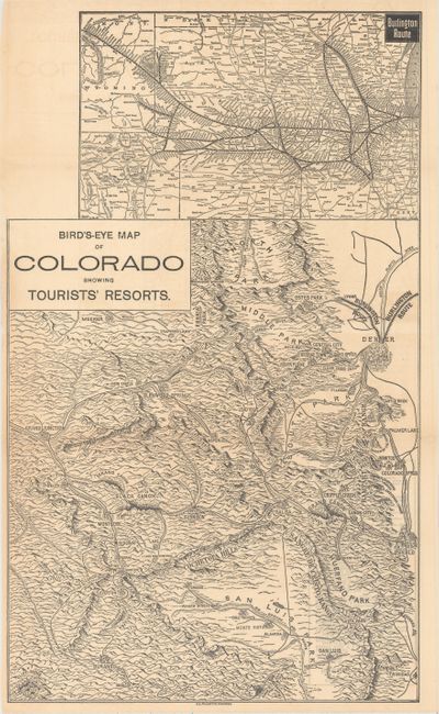
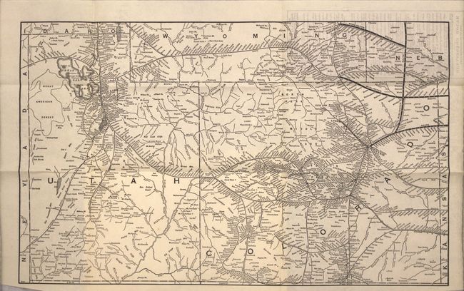
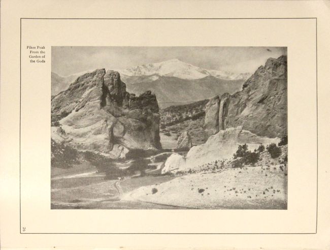
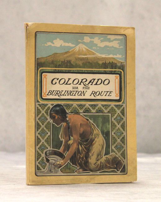
This map of Colorado covers the region from Durango and Grand Junction east to Pueblo and Denver. The Burlington Route is shown extending from Denver to Lyons and points east to Nebraska. Numerous towns and resorts are shown nestled in the mountains with Aspen at center. Above the main map is an inset of the entire Burlington Route from Chicago and Minneapolis to Billings. The map is laid into the 71 page booklet that is filled with illustrations of attractions across the state including Pikes Peak, Manitou, Cripple Creek and Estes Park. The booklet also contains an untitled map attached to the inside back cover that depicts the railroad network in the vicinity of Utah, Colorado, southern Wyoming, and southwestern Nebraska. Small octavo with stiff pictorial paper covers showing a native panning for gold.
References:
Condition: B+
The maps are clean and bright with a hint of pleasant light toning. Booklet text and images are very good.