Subject: Western United States
Period: 1878-79 (dated)
Publication: Sen. Ex. Doc. 120
Color: Black & White
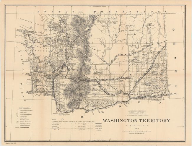
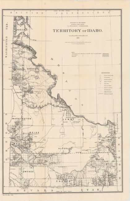
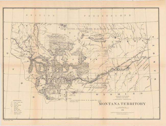
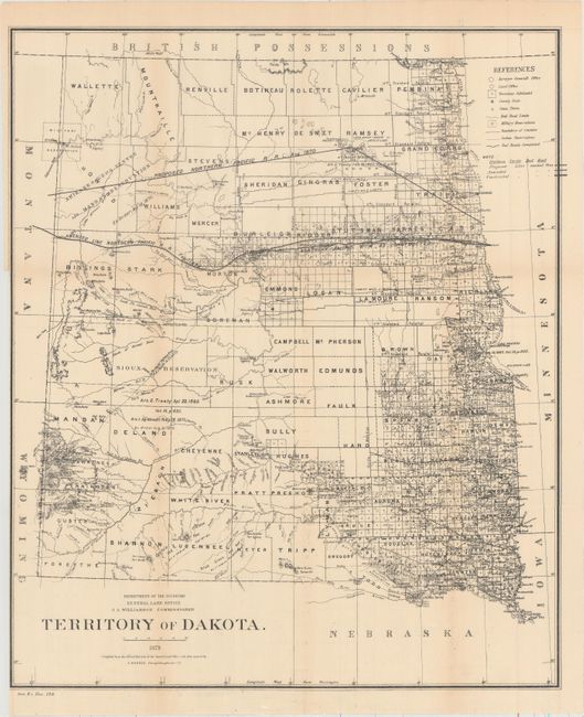
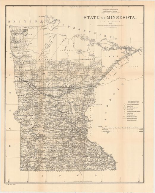
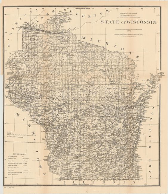
This lot of 6 maps shows the entire proposed course of the Northern Pacific Railroad from Lake Superior to Washington Territory with amendments as of 1879. In addition to the railroad detail, the map locates land offices, townships, cities, towns and military reservations. The map of Washington Territory includes an interesting note stating that the northern portion of the territory was “Reserved for Chief Moses and his people, and such other friendly Indians as may elect to settle here with the consent of, Chief Moses and the Secretary of the Interior.” Drawn by C. Roeser, Principal Draughtsman.
A. Washington Territory, dated 1879 (21.1 x 15.9").
B. Territory of Idaho, dated 1879 (13.8 x 20.9").
C. Montana Territory, dated 1879 (21.1 x 14.9").
D. Territory of Dakota, dated 1879 (17.9 x 21.1").
E. State of Minnesota, dated 1879 (16.7 x 21.2").
F. State of Wisconsin, dated 1878 (18.1 x 20.0").
References:
Condition: B+
Issued folding with occasional light toning. The maps of Wisconsin and Dakota have narrow binding trims at left, and the map of Washington Territory has one small edge tear at left that is repaired on verso with archival tape.