Subject: Exploration & Surveys
Period: 1758 (published)
Publication:
Color: Black & White
Size:
8.3 x 10.4 inches
21.1 x 26.4 cm
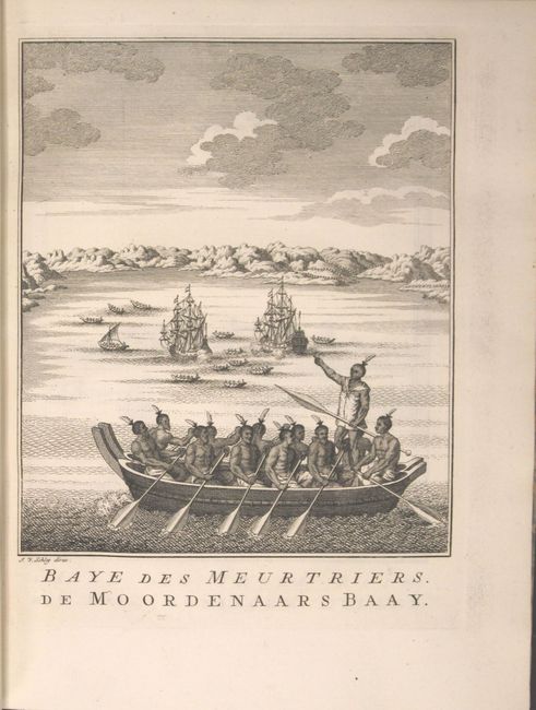
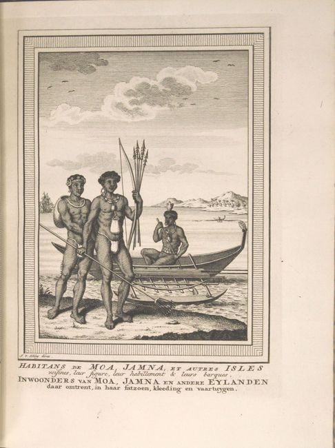
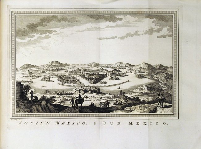
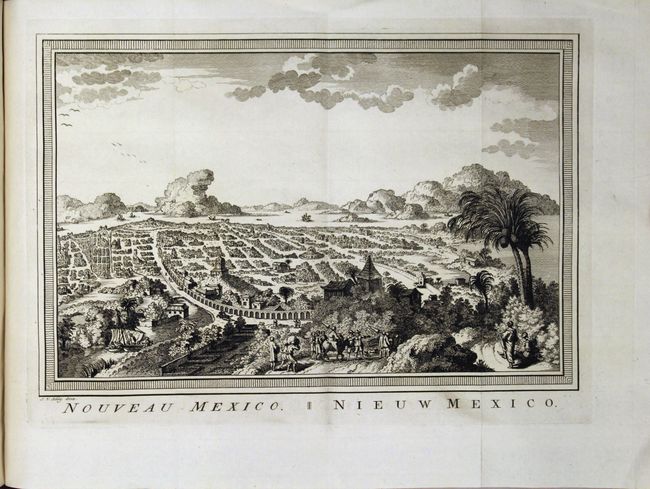
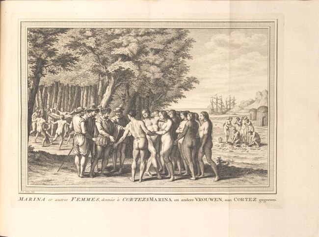
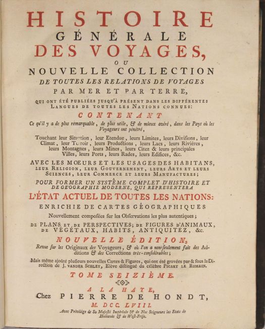
This is a very nice example of volume sixteen of Prevost's history of voyages, with maps by Jacques Nicolas Bellin. This volume is focused on Australia, Mexico, and South America and contains 21 beautiful plates (many folding) depicting natives, costumes, ships and scenery including the attractive views "Ancien Mexico" and "Noveau Mexico." The nine maps included in this volume are:
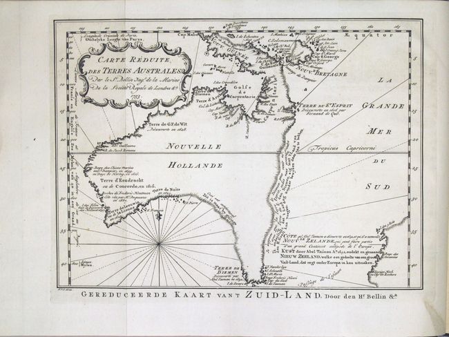
Carte Reduite des Terres Australes (11.0 x 8.0"). This is one of the few 18th century maps to focus on the Australian continent prior to Cook's famous first voyage from 1768-1771. Mainland Australia is connected to both Tasmania (Terre de Van Diemen) and Papua New Guinea (Nouv. Guinee). Along the imaginary eastern coastline is a note that reads: "I suppose that the land of Diemen can join with the land of the Holy Ghost, but this is without proof." A partial coastline of New Zealand is shown peeking out of the corner of the map, with a note that it was discovered by Abel Tasmand in 1642 and speculation that it might be part of a great southern continent. This is an important map of Australia depicting the interesting theories made prior to exploration of the region later in the century.
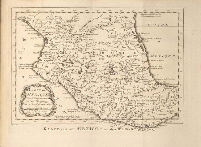
Carte du Mexique (11.5 x 7.8"). An attractive map of central Mexico that reaches from Durango in the north as far south as the Isthmus of Tehuantepec. Mexico City is located on the shores of a large lake.
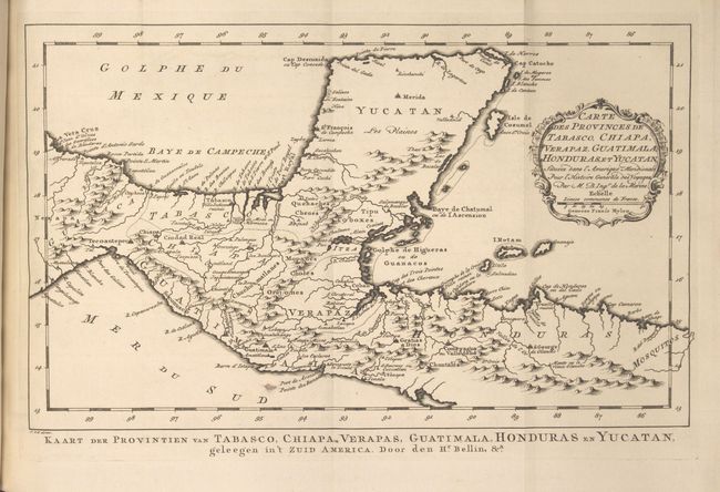
Carte des Provinces de Tabasco, Chiapa, Verapaz, Guatimala, Honduras, et Yucatan (13.4 x 8"). Nice detailed map of the Yucatan peninsula and northern Central America. Locates primary harbors, shoals and offshore islands including Cosumel, Ruatan and Bonacca. Guatemala is limited to a narrow strip along the Pacific coast and El Salvador has yet to be carved out of Honduras.
Carte des Provinces de Nicaragua et Costa Rica. (single-page)
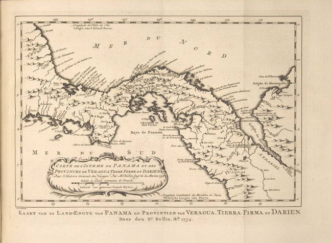
Carte de l'Isthme de Panama... (11.6 x 7.8"). An attractive, small map featuring good detail of Panama many years before the creation of the Canal and Lake Bayano. Numerous place names including S. Yago on the Azuevo Peninsula, Portobelo, Se. Marie, Panama, etc. Extends to include the Gulf of Darien.
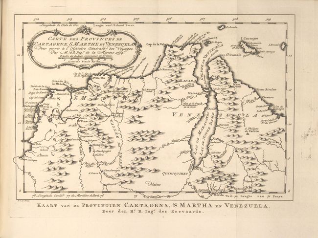
Carte des Provinces de Cartagene, S. Marthe et Venezuela... (11.2 x 7.6").
Carte du Lac de Mexico... (single-page)
Carte des Environs de la Ville de Mexico. (single-page)
Plan de la Rade et Ville de la Vera-Cruz... (single-page)
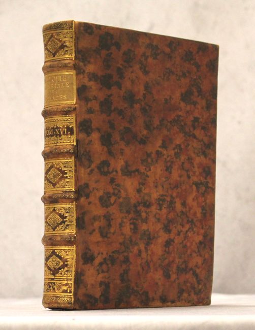
Published by Didot, the book is in full leather with gilt title, tooling and raised bands on spine. Quarto, vii, 486 pp. and 30 copper-engraved maps and plates.
References: Tooley (Australia) p. 24, #156; Tooley (MCC-23) #80.
Condition: A
Text, plates, and maps are remarkably clean, bright and tight with very occasional faint offsetting in the maps. Minor abrasions to the covers but overall very good externally.