Subject: Geography Books
Period: 1861 (published)
Publication:
Color: Hand Color
Size:
6 x 9.3 inches
15.2 x 23.6 cm
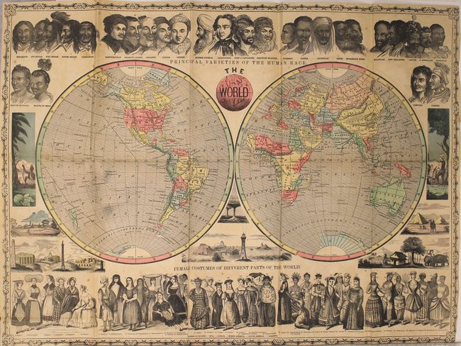
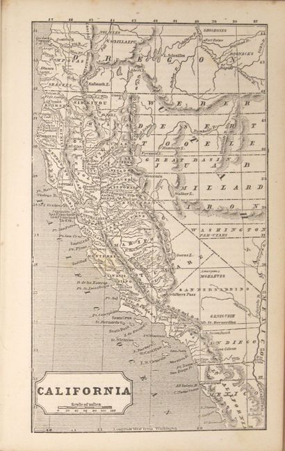
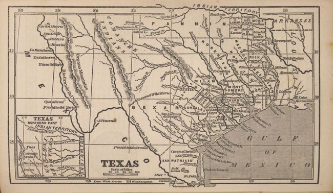
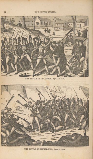
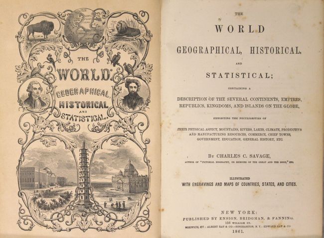
Thoroughly informative and nicely presented geography similar to a gazetteer containing 55 uncolored, single-page maps. The book focuses on the United States with maps of each state and several of the major American cities, but also includes maps of the world and continents. The book is further illustrated with engraved views and woodcut vignettes interspersed throughout the text. Bound into the back is a very decorative, colored foldout map of The World (27 x 18.5") which is surrounded by figures representing the various human races and displaying different female costumes. The front cover illustration celebrates the Industrial revolution, "All Nations, One Great Brotherhood, Brought Together by Steam & Telegraph." Written by Charles Savage, complete, 8vo. 500 pages. Hardbound in original brown cloth with decorative tooling and gilt on front and spine.
References:
Condition: B
The large folding map has light toning and offsetting, minor scattered foxing, and a few tiny splits at fold intersections. Text and single-page maps have light scattered foxing which is more prominent in the first 50 pages of the book. A few of the single-page maps have very minor ink notations in the image. Covers are sunned and lightly soiled with bumped edges.