Catalog Archive
Auction 157, Lot 614

NO RESERVE

"Ponti Pars ad Halym, Iridem, Thermodontemq, Fluvios Sita; quam Heroicis Temporibus Amazones Romanorum Aetate Mithridatis Regnum...", Sanson, Guillaume

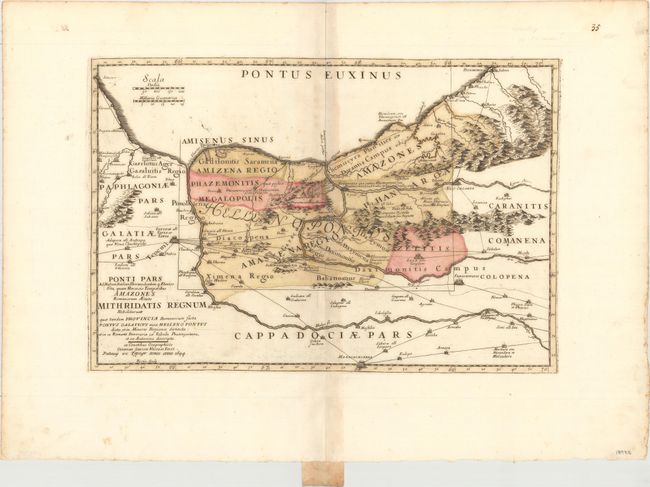
Subject: Northern Turkey

Period: 1694 (dated)

Publication:

Color: Hand Color

Size:
18.9 x 12.8 inches
48 x 32.5 cm
Download High Resolution Image
(or just click on image to launch the Zoom viewer)

This map, originally issued by Gullaume Sanson in 1676, was produced in an historical atlas by the Typographia Seminary in Padua, which is indicated in the cartouche. Engraved by I. Bertin, the map shows northern Turkey and the vast network of trade routes between various towns and cities. The Romans and King Mithradates of Pontus had several battles over this important region during the Mithridatic Wars, with the Roman general Pompey the Great finally defeating the king in 62 BC.

References:

Condition: B+

Original color on a sheet with wide margins, light toning along the centerfold, some light creasing, and a few spots of foxing.

Estimate: $275 - $350

Sold for: $65

Closed on 5/4/2016

Archived