Subject: Polar
Period: 1798-99 (published)
Publication:
Color: Black & White
Size:
17.3 x 8.5 inches
43.9 x 21.6 cm
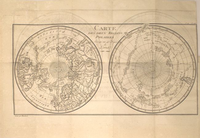
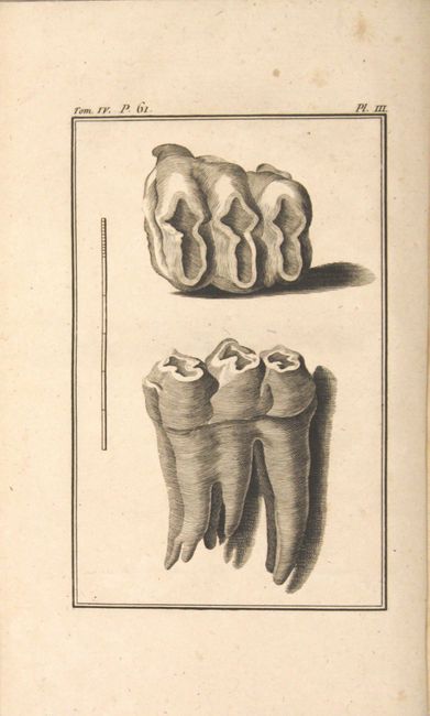
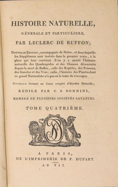
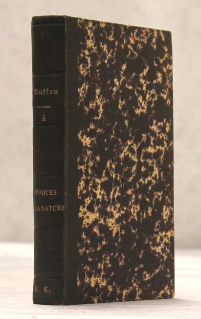
This interesting map of the poles shows numerous tracks of explorers, including Tasman, Furneaux, Halley, Marion, and the 1773 expedition of Cook. There is an unusual and utterly spurious Northwest Passage shown from Hudson Bay via Wager Inlet into la Gde. Eau des Sauvages, farther down into L. de Fonte and thus to the Pacific. There are many ice floes or icebergs depicted in both poles. Engraved by Blanchard. The map is bound into the fourth volume of Buffon's Histoire Naturelle which includes 414 pp. of text and 3 fossil plates. Rebound in quarter black cloth over marbled boards.
References:
Condition: B+
The map, issued on watermarked paper, is very good with offsetting and a binding trim at top right. Text and plates are mostly clean and tight. Modern binding is excellent with a little light shelf wear.