Catalog Archive
Auction 157, Lot 462
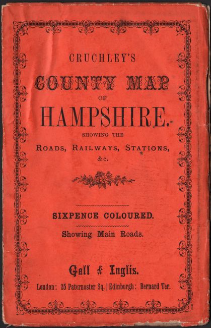
"Cruchley's Road and Railway Map of the County of Hampshire Showing All the Railways and Names of Stations Also the Turnpike Roads, Villages, Gentlemens Seats &c. &c. Improved from the Ordnance Surveys", Cruchley, George Frederick
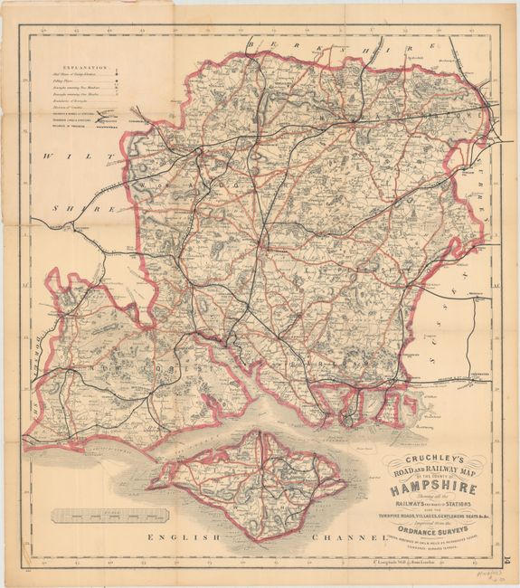
Subject: Southern England
Period: 1890 (circa)
Publication:
Color: Hand Color
Size:
19.7 x 21.5 inches
50 x 54.6 cm
Download High Resolution Image
(or just click on image to launch the Zoom viewer)
(or just click on image to launch the Zoom viewer)