Catalog Archive
Auction 157, Lot 452

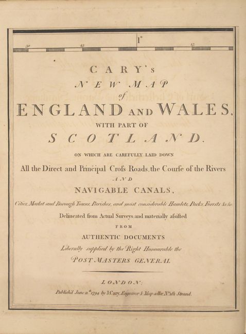
"Cary's New Map of England and Wales, with Part of Scotland. On Which Are Carefully Laid Down All the Direct and Principal Cross Roads, the Course of the Rivers and Navigable Canals...", Cary, John
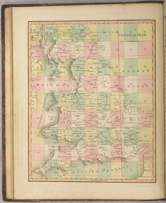
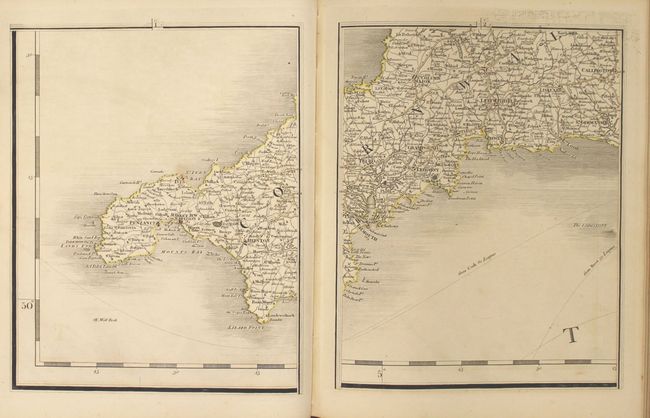
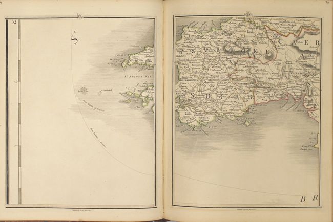
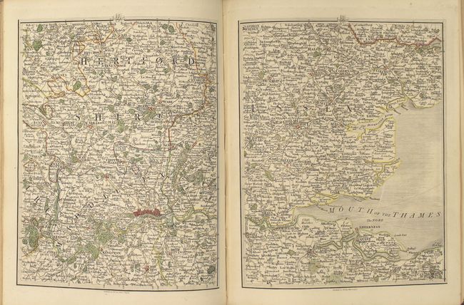
Subject: Britain

Period: 1794 (published)

Publication:

Color: Hand Color

Size:
9.8 x 12.1 inches
24.9 x 30.7 cm
Download High Resolution Image
(or just click on image to launch the Zoom viewer)

This large, incredibly detailed map of Britain is sectioned into 81 sheets and bound in "atlas" form. It covers all of England, Wales, and the southern portion of Scotland and depicts roads, towns and cities, rivers, canals and topography. Included with the map is a 14-page index of "The Roads from the Metropolis to Every Market Town in England and Wales," making the book usable like earlier strip road maps. Also includes a comprehensive 88-page "List of Places" and an index map. Complete. Blank sheets 62 and 80 not present, as issued, for a total of 79 map sheets.

References:

Condition: B+

The map sheets are overall very good with original outline color and light offsetting. Covers are moderately worn with bumped edges.

Estimate: $550 - $700

Sold for: $400

Closed on 5/4/2016

Archived