Subject: Central Colorado
Period: 1883 (published)
Publication:
Color: Printed Color
Size:
18.4 x 22.6 inches
46.7 x 57.4 cm
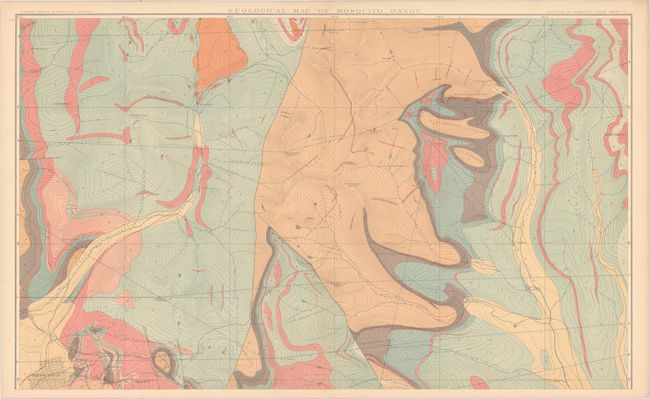
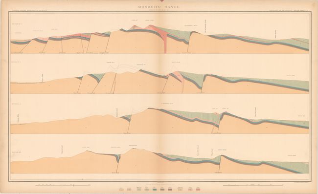
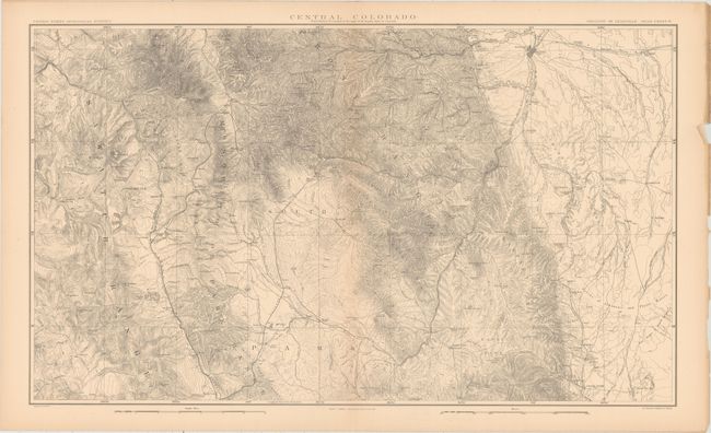
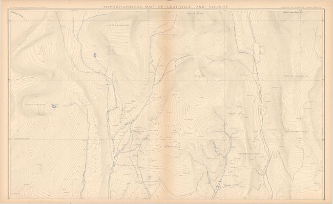
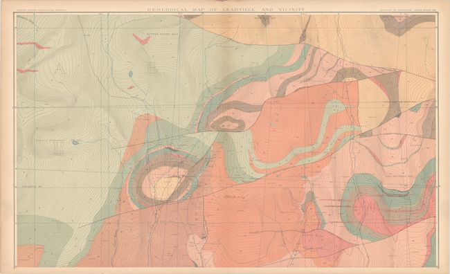
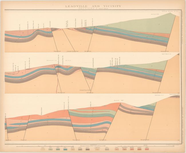
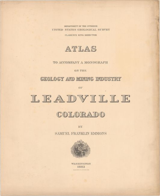
This is the atlas volume to accompany Samuel Franklin Emmon's 770-page report (not present) on the geology of central Colorado. It contains 12 double-page and 19 single-page maps and profiles of the region showing topography, geology and geological sections including: Central Colorado (1), Mosquito Range (6), Leadville and Vicinity (12), Iron Hill (3), North Iron Hill (3), Carbonate Hill (3) and Fryer Hill (4). Published under the direction of Clarence King.
Elephant folio. Title Page, Table of Contents, Legend, Index and 31 maps.
References:
Condition: A
Condition code is for the maps which are near fine with pleasant light toning and occasional small chips confined to the right blank margins. The atlas is detached from its original paper wrappers and should be considered a collection of loose maps that are attractively housed in a black clamshell case. Original paper wrappers are present but tattered along the edges along with a few tears.