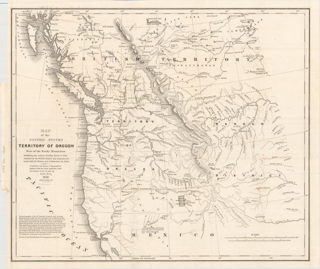
Subject: Northwestern United States
Period: 1838 (dated)
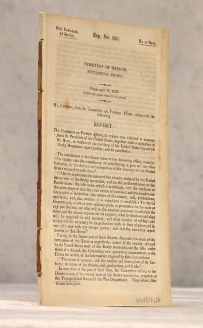
Publication: HR Doc. 101, 25th Congress, 3rd Session
Color: Black & White
Size:
20.4 x 17.4 inches
51.8 x 44.2 cm
This map was issued in an important report intended to awaken public interest in the American occupation of Oregon Territory in the controversy with Great Britain, who also claimed the territory south to the Columbia River. Among the many interesting details on the map are the locations of the various trading posts or forts connected with the American and British northwestern fur trade. It covers present day Oregon, Washington, Idaho, Montana and Wyoming. The region east of the Rocky Mountains is named Mandan District. It also shows much of southwestern Canada. The map was copied from John Arrowsmith's 1832 map of British North America. At lower left is the wording of an ultimatum given to the British by Henry Clay, Secretary of State, stating that the 49th parallel will be the boundary. Engraved by M.H. Stansbury. Accompanied by the 61 page disbound report often referred to as the "Cushing Report."
References: Wheat (TMW) #434; Claussen & Friis #221.
Condition: A
A very nice example, issued folding, with faint offsetting and a tiny binding tear that just touches neatline. Disbound text is very good with light toning.