Catalog Archive
Auction 157, Lot 230
NO RESERVE
"[Lot of 2] Johnson's Illinois [and] Johnson's Indiana", Johnson & Ward
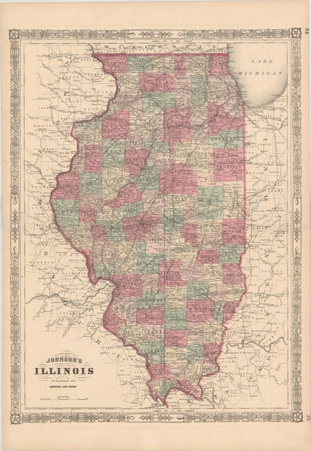
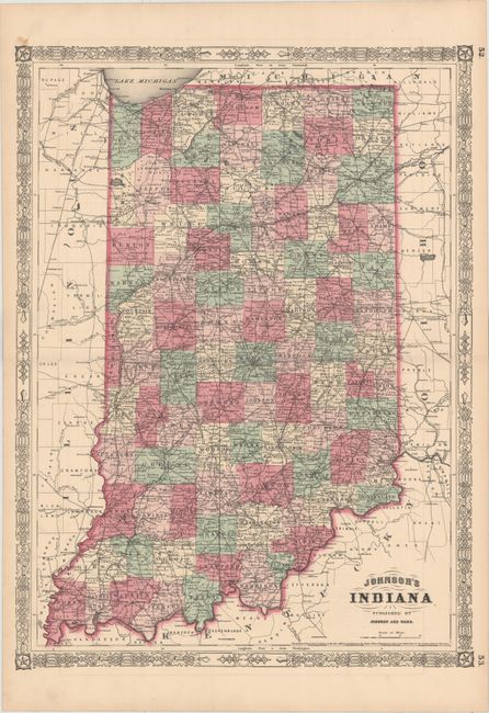
Subject: Central United States
Period: 1864 (dated)
Publication: Johnson’s New Illustrated (Steel Plate) Family Atlas
Color: Hand Color
Size:
17.3 x 23.2 inches
43.9 x 58.9 cm
Download High Resolution Image
(or just click on image to launch the Zoom viewer)
(or just click on image to launch the Zoom viewer)