Catalog Archive
Auction 157, Lot 213

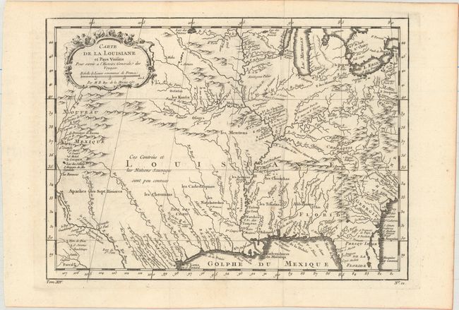
"Carte de la Louisiane et Pays Voisins pour Servir a l'Histoire Generale des Voyages", Bellin, Jacques Nicolas

Subject: Colonial Southern United States

Period: 1757 (dated)

Publication: Prevost's Histoire Generale des Voyages

Color: Black & White

Size:
12 x 8.8 inches
30.5 x 22.4 cm
Download High Resolution Image
(or just click on image to launch the Zoom viewer)

Superb small map based on Delisle's map of the French colony of Louisiana. This finely engraved and detailed map of French Louisiana extends from the Great Lakes to the Gulf of Mexico and from Nouveau Mexique to Florida (not showing the tip of Florida). Many Indian place names, forts, and early European settlements are shown. Nouveau Mexique in the far west includes Santa Fe and names the S. Jerome de Taos. The decorative title cartouche includes the distance scale.

References: cf. Sellers & Van Ee #18.

Condition: A

Issued folding on watermarked paper with minor offsetting and a couple spots.

Estimate: $160 - $190

Sold for: $130

Closed on 5/4/2016

Archived