Catalog Archive
Auction 156, Lot 518
"A Correct Map of the North East Part of Germany. Containing the Electorates of Saxony & Brandenburg, and the Duchies of Silesia, Mecklenburg, Pomerania &c. Drawn from the Best Authorities, and Adjusted by Astronl. Observations", Bowen, Emanuel
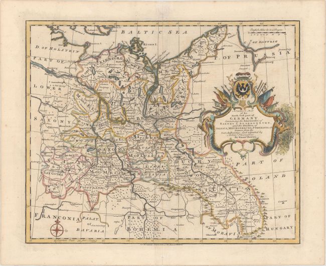
Subject: Northeastern Germany
Period: 1751 (circa)
Publication: Tindal's Continuation of Rapin's History of England
Color: Hand Color
Size:
16.8 x 13.7 inches
42.7 x 34.8 cm
Download High Resolution Image
(or just click on image to launch the Zoom viewer)
(or just click on image to launch the Zoom viewer)