Subject: English Counties, Atlases
Period: 1842 (circa)
Publication:
Color: Black & White
Size:
9.6 x 11.4 inches
24.4 x 29 cm
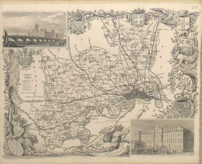
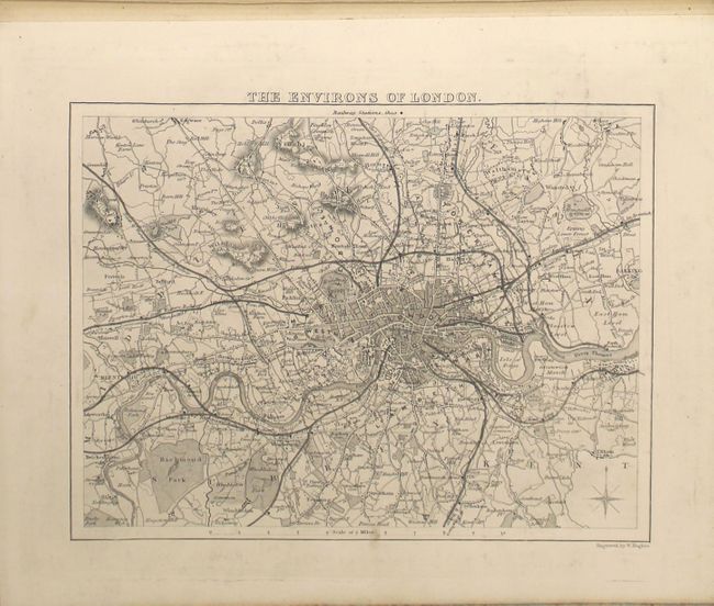
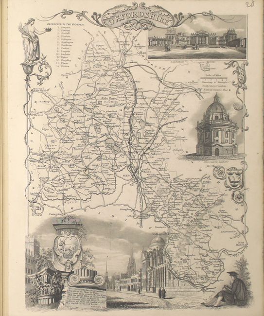
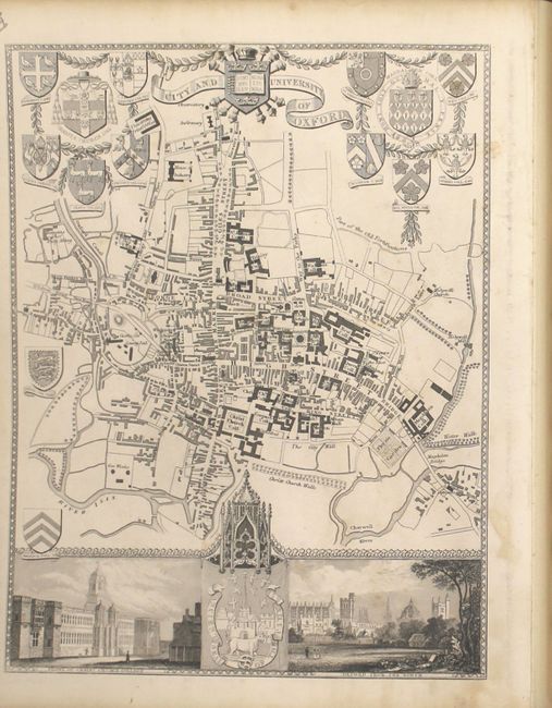
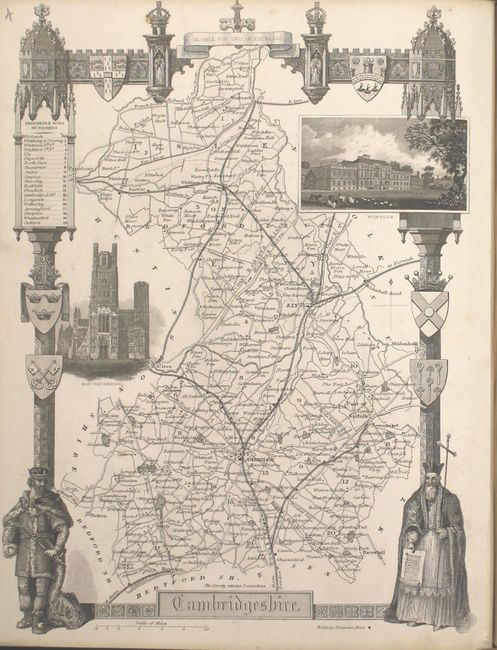
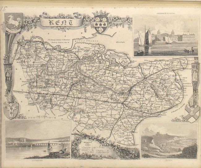
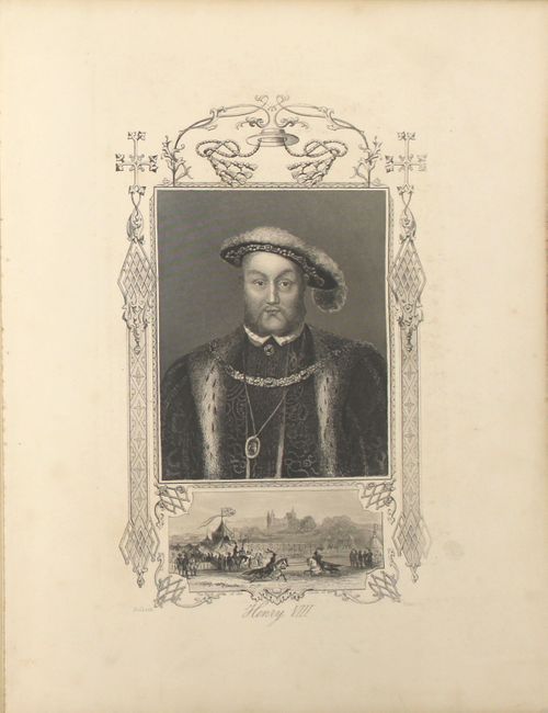
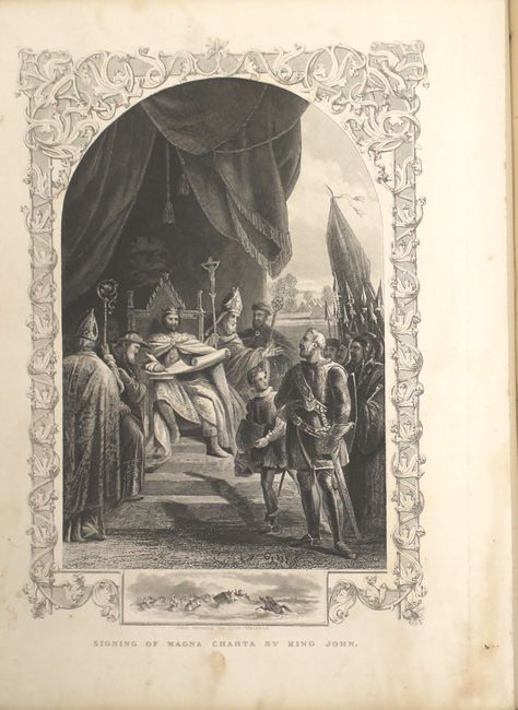
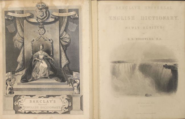
This atlas volume contains 49 very attractive county maps by Thomas Moule and published by George Virtue in London. Moule was an authority on heraldry and most of his maps here are embellished with armorials, vignettes and other features. This is considered the last series of British maps published in the tradition of decorative armorial cartography. Typical of many maps is that of Kent, which is decorated with a complicated border with coats-of-arms and other embellishments, fine views of Rochester and Dover in bottom corners, and the large inset view "Greenwich Hospital" at upper right. Other maps of interest include Middlesex, The Environs of London, Oxfordshire, City and University of Oxford, and Cambridgeshire. In addition to the maps, there is a frontispiece of Queen Victoria, 9 portraits including Henry VIII and the signing of the Magna Carta by King John, and a comparative chart of principal hills in Great Britain.
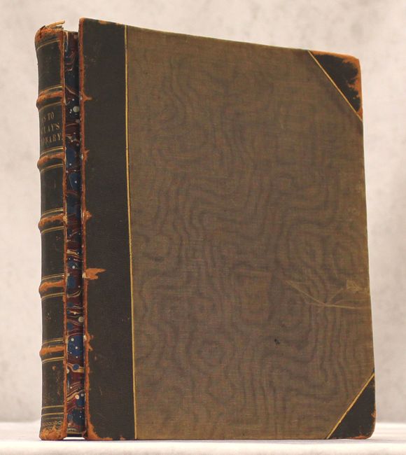
Each of the map sheets has been backed with linen. Hardbound in brown quarter leather and tips over brown cloth boards.
References:
Condition: B+
Condition code is for the maps which are mostly clean and bright and range from good to near fine with some of the maps having minor staining, soiling or light foxing. The frontispiece has light staining near the top of the image. Both covers have separated from the text block and the leather spine and tips are rubbed.