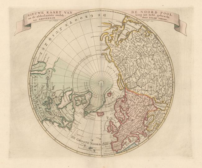
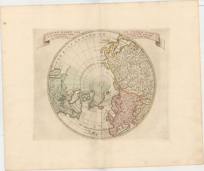
Subject: North Pole
Period: 1735 (dated)
Publication: Nieuwe en Beknopte Hand Atlas
Color: Hand Color
Size:
12.9 x 11.1 inches
32.8 x 28.2 cm
First state of this attractive copper engraved map on a north polar projection. The northern part of the island of California is shown and the Pacific region is completely blank. There is good detail in Europe and Asia, with even the Great Wall of China shown, while relatively little detail appears in North America. The Mississippi River extends west and connects with a large lake, Gnacsitares that almost reaches the West Coast, based on the embellished account of Baron de Lahontan. Quivira and Sante Fe are also noted in the west. Greenland is connected to both the North Pole and Canada. Ribbon style title cartouche.
References: Kershaw #421; McLaughlin #216.
Condition: A
Original color on paper with "Adriaan Rogge" watermark and wide margins. Minor marginal soiling.