Catalog Archive
Auction 156, Lot 368
"A New and Correct Draught of the Bay of Matanzas. On ye North Side of ye Island Cuba Done from a Survey by Robt. Pearson", Mount & Page
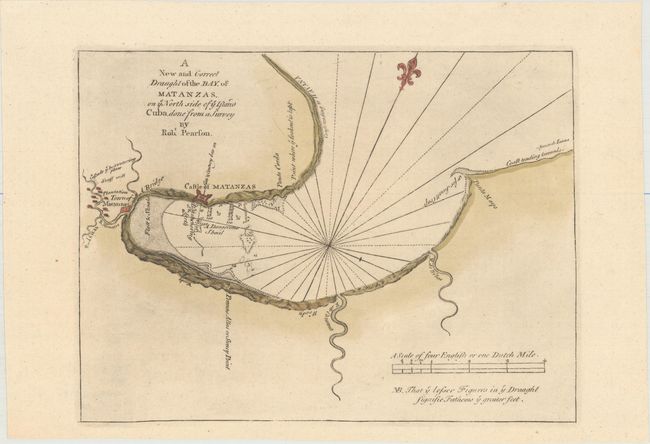
Subject: Matanzas, Cuba
Period: 1753 (circa)
Publication: The English Pilot, Fourth Book
Color: Hand Color
Size:
12.1 x 9.1 inches
30.7 x 23.1 cm
Download High Resolution Image
(or just click on image to launch the Zoom viewer)
(or just click on image to launch the Zoom viewer)