Subject: Ohio
Period: 1850 (dated)
Publication:
Color: Hand Color
Size:
13.1 x 15.3 inches
33.3 x 38.9 cm
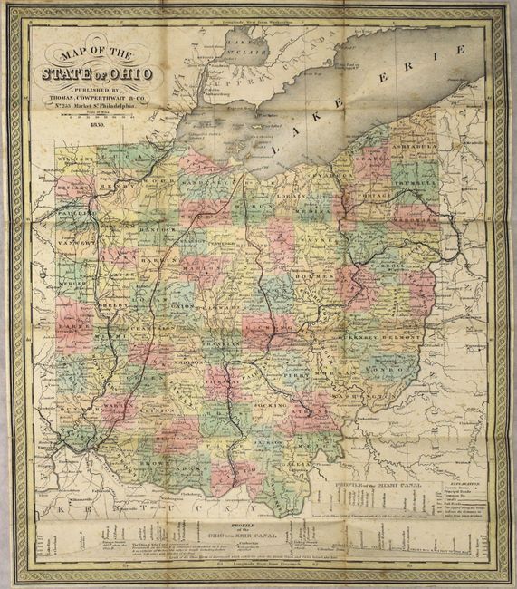
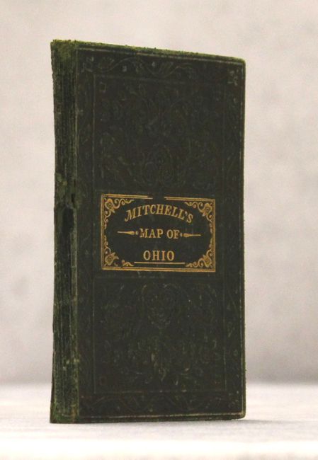
This is Mitchell's map, which also appeared in the New Universal Atlas, here in pocket map format. A very finely engraved state map filled with details and scores of towns and villages, roads, and a surprising number of railroads. Large profile of the Ohio and Erie Canal along the bottom and another profile showing the Miami Canal. Legend uses line and hand color to locate County Towns, Principle and Common Roads with their distance indicated in miles, Canals and Railroads. Fancy titling and decorative borders. Folds into green cloth covers with engraving and gilt title on front.
References:
Condition: B
Light scattered foxing with a 1.5" edge tear and 1" fold separation at top. Minor toning along the vertical folds. Spine of covers is cracked with archival tape reinforcement along the hinge.