Subject: Boston, Massachusetts
Period: 1860 (dated)
Publication:
Color: Hand Color
Size:
15.6 x 16 inches
39.6 x 40.6 cm
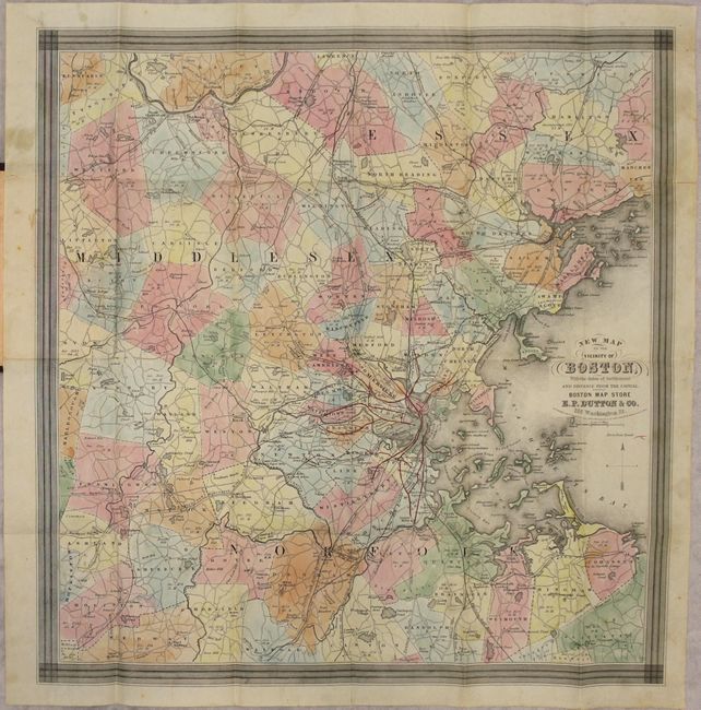
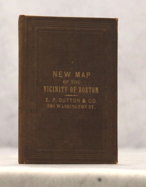
This pocket map of the greater Boston area extends west to beyond West Acton, south to West Medway and north to well above Middlesex Village. The map is very detailed showing roads, villages and towns, railroads, ponds, academies, and political boundaries. Waldon Pond is noted in the eastern part of Concord. An interesting and unusual feature on this map are the "horse rail roads" identified in red. Horse rail roads were the precursor to electric trolley lines that were used later in the century. The original paper label on the inside front cover states that E.P. Dutton & Co. dealt with "all kinds of Maps, Atlases, Globes and School Apparatus." Folds into brown gilt-lettered cloth covers (3.5 x 5").
References:
Condition: B+
An attractive example with a few short fold separations closed on verso with archival tape and minor soiling in the blank margins. Light wear to covers.