Subject: Western United States
Period: 1857 (published)
Publication: U.S. Pacific Railroad Surveys
Color: Black & White
Size:
46.3 x 42.4 inches
117.6 x 107.7 cm
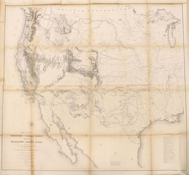
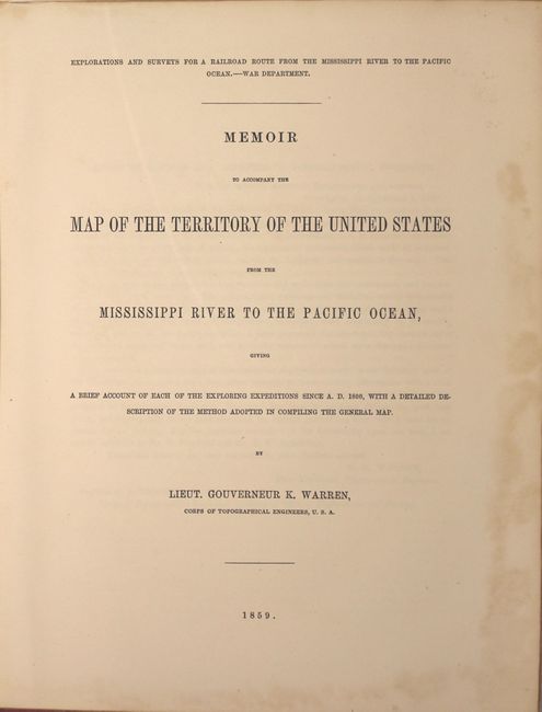
Known as "Warren's General Map," this is a monumentally important map that is considered to be the first accurate overall picture of the region. Wheat considered it so important that he dedicated eight pages to its description and called it the most important map produced by the Topographical Engineers. Drawn on the polyconic projection, the map culminated a half-century of government explorations beginning with Lewis & Clark. Only 24 years old when assigned the task, Warren used information from the U.S. Land Office, the Coast Survey, Topographical Engineers, the Adjutant General, the Quartermaster General, the Indian Bureau, and Smithsonian Institution to obtain the latest information in developing this map. The majority of the map was completed by 1854, but it was not fully complete when the first railroad survey report was published in 1855 and thus did not accompany all editions. A remarkable and scarce map that represents the best geological knowledge of the day.
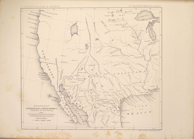
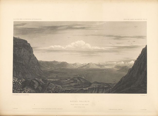
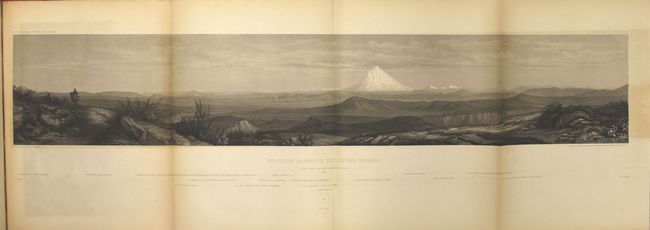
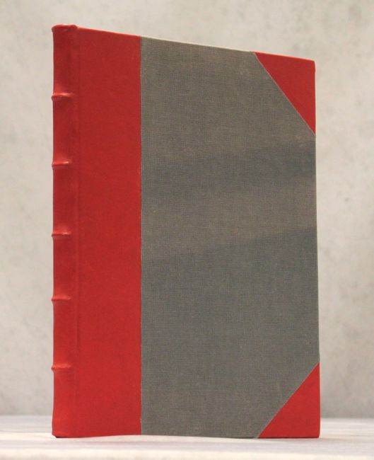
Accompanying the map is Warren's 120-page report that describes the numerous explorations that he consulted to compile the map as well as 4 plates featuring reduced maps of region from Reid, Roberdeau, Finley and Bonneville. Following Warren's report is the first section of the "Topographical Maps, Portfolios, and Sketches, to Illustrate the Various Reports of Surveys for Railroad Routes..." which includes 13 plates (5 large folding) to accompany Beckwith's report along the 41st parallel. Rebound in red faux leather with tips over grey cloth boards.
References: Wheat (TMW) #936.
Condition: C+
Issued folding and now flattened and backed with tissue to reinforce and repair a 10" edge tear at left and several fold separations in the image. Non-archival tape has been applied to a 10" section at lower left to repair several small chips and separations, as well as to approximately half of the top border which was previously trimmed to the neatline and reattached with a tiny amount of border drawn in facsimile. Light toning along the folds. The report and plates have light scattered foxing, with the larger folding plates moderately toned with some offsetting.