Catalog Archive
Auction 156, Lot 142

State of Franklin

"Karte von Nord Amerika von 50sten Grade der Breite bis Gegen den Wendekreiss des Krebses, den Neuesten Angaben", Zimmerman, Eberhard A.W.

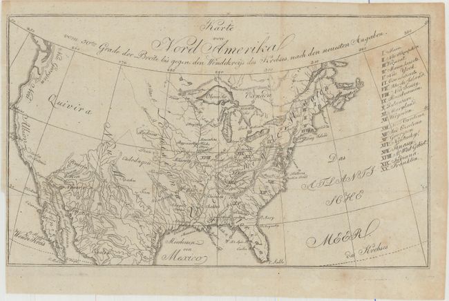
Subject: United States

Period: 1805 (published)

Publication: Taschenbuch der Reisen, oder Unterhaltende Darstellung der Entdeckungen des 18ten Jahrhunderts...

Color: Black & White

Size:
10.6 x 6.3 inches
26.9 x 16 cm
Download High Resolution Image
(or just click on image to launch the Zoom viewer)

This small map was published in Zimmerman's Taschenbuch der Reisen, oder Unterhaltende Darstellung der Entdeckungen des 18ten Jahrhunderts. This was the fourth title in Zimmerman's annual compliations, and is devoted entirely to America. The map itself covers the entire present-day United States and lists twenty states in a table at right including the short-lived state of Franklin, which is erroneously identified in present-day Ohio. Topography and drainage is emphasized in this map with only a few place names west of the Missouri River including a large Quivira in the Great Basin and New Albion along the west coast.

References: Old World Auctions - State of Franklin Maps #22.

Condition: B+

Issued folding with faint scattered foxing and a binding trim at left.

Estimate: $200 - $250

Sold for: $140

Closed on 2/17/2016

Archived