Subject: References
Period: 1972-74 (published)
Publication:
Color: Black & White
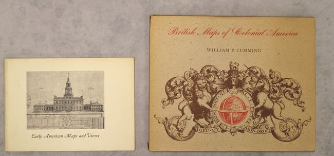
A. Early American Maps and Views, by the Philip H. & A.S.W. Rosenbach Foundation, published 1972 (7.9 x 5.8"). This slender but rich volume features a selection of around 50 items from the Rosenbach Foundation collection of Americana. It spans from Apianus' 1520 world map-- the first to use the name "America"-- to Robert Swain Gifford's elegant view of Philadelphia, published circa 1872. Each entry is accompanied by a black & white illustration and a brief description. 64 pp., paperback. Condition: Contents fine with minor soiling on the covers.
B. British Maps of Colonial America, by William P. Cumming, published 1974 (10.3 x 8.3"). This reference presents the development of British cartography in colonial North America. The book is divided into four sections: cartography of the southern colonies, northern colonies, the coast, and sites relevant to the French and Indian and Revolutionary wars. 114 pp. with numerous B&W illustrations. Hardbound with tan cloth covers with dust jacket. Condition: Contents and covers fine with short tears and some sunning on the dust jacket.
References:
Condition: A
See description above.