Catalog Archive
Auction 155, Lot 687
"La Basse Guinee, Contenant les Royaumes de Loango, de Congo, d'Angola et de Benguela; avec la Cafrerie Occidentale et la Meridionale, ou le Pays des Hottentots", Bonne, Rigobert
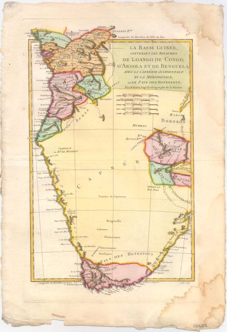
Subject: Southern Africa
Period: 1780 (circa)
Publication:
Color: Hand Color
Size:
9.3 x 15.2 inches
23.6 x 38.6 cm
Download High Resolution Image
(or just click on image to launch the Zoom viewer)
(or just click on image to launch the Zoom viewer)