Catalog Archive
Auction 155, Lot 592
"[Lot of 4] Carte de Karazm, Turkestan, et Grande Bukharie, pour Servir a l'Histoire Generale des Voyages... [and] Carte du Grand Thibet... [and] Carte de l'Empire de Hya et Partie de Tangut... [and] Carte de la Petite Bukharie et Pays Voisins...", Bellin, Jacques Nicolas
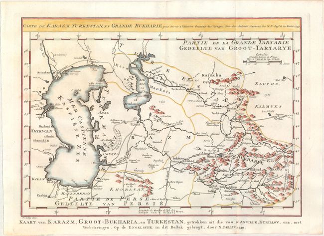
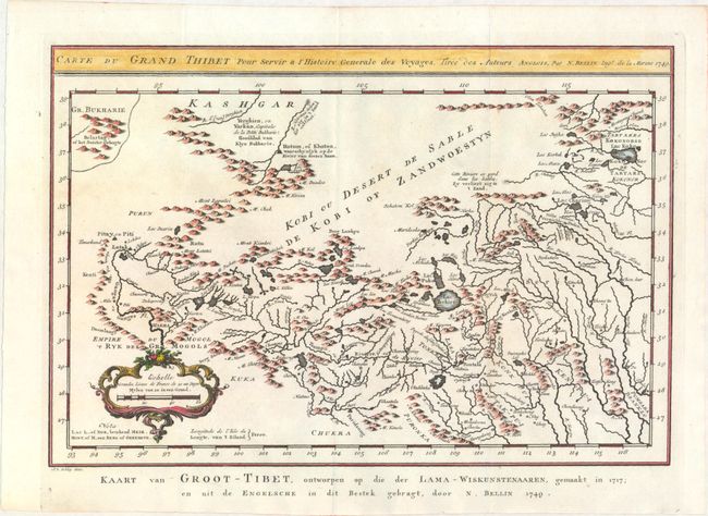
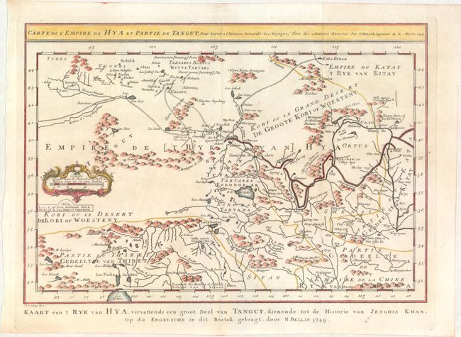
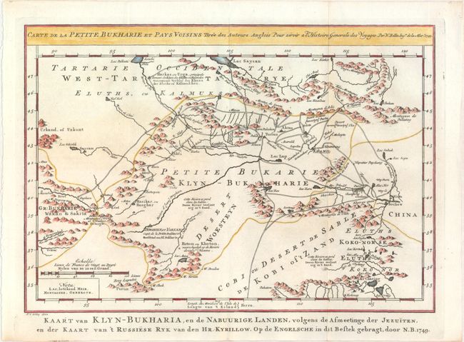
Subject: Central and Eastern Asia
Period: 1749 (dated)
Publication: Prevost's Histoire Generale des Voyages
Color: Hand Color
Size:
12 x 8.5 inches
30.5 x 21.6 cm
Download High Resolution Image
(or just click on image to launch the Zoom viewer)
(or just click on image to launch the Zoom viewer)