Catalog Archive
Auction 155, Lot 576
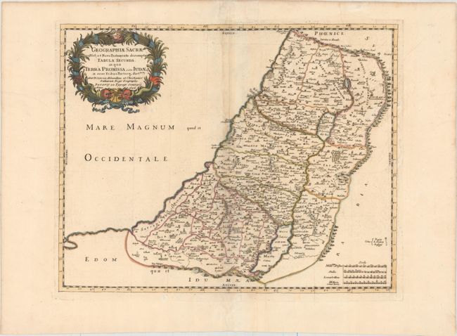
"Geographiae Sacrae ex Vet; et Novo Testamento Desumptae Tabula Secunda in qua Terra Promissa sive Iudaea in Suas Tribus Partesq, Distincta", Sanson, Nicolas
Subject: Holy Land
Period: 1696 (dated)
Publication:
Color: Hand Color
Size:
19.1 x 15.2 inches
48.5 x 38.6 cm
Download High Resolution Image
(or just click on image to launch the Zoom viewer)
(or just click on image to launch the Zoom viewer)