Catalog Archive
Auction 155, Lot 438
"L'Angleterre, Conforme aux Itineraires, et Assujettie aux Observationes Astronomiques les Plus Recentes; Dirigee par Mr. Philippe...", Philippe De Pretot, Etienne Andre
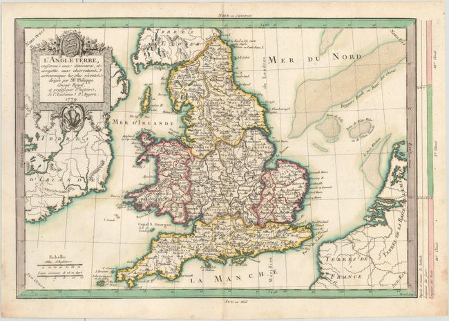
Subject: England & Wales
Period: 1779 (dated)
Publication: Atlas Universel
Color: Hand Color
Size:
15 x 10.4 inches
38.1 x 26.4 cm
Download High Resolution Image
(or just click on image to launch the Zoom viewer)
(or just click on image to launch the Zoom viewer)